banlieue locations in Pialat's L'Amour existe (1960)
|
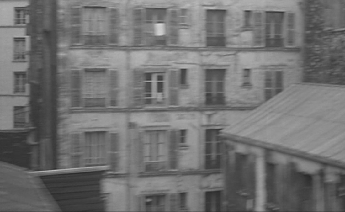
Maurice Pialat's film shows the banlieue of Paris in about seventy exterior views in different places. These places are the object of this post, which is basically a listing. I have only been able to identify precisely about twenty of them, but even that number gives a clear indication - see right - of the topographical scope of this nineteen-minute film.
|
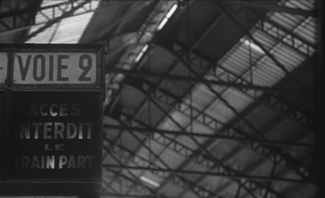
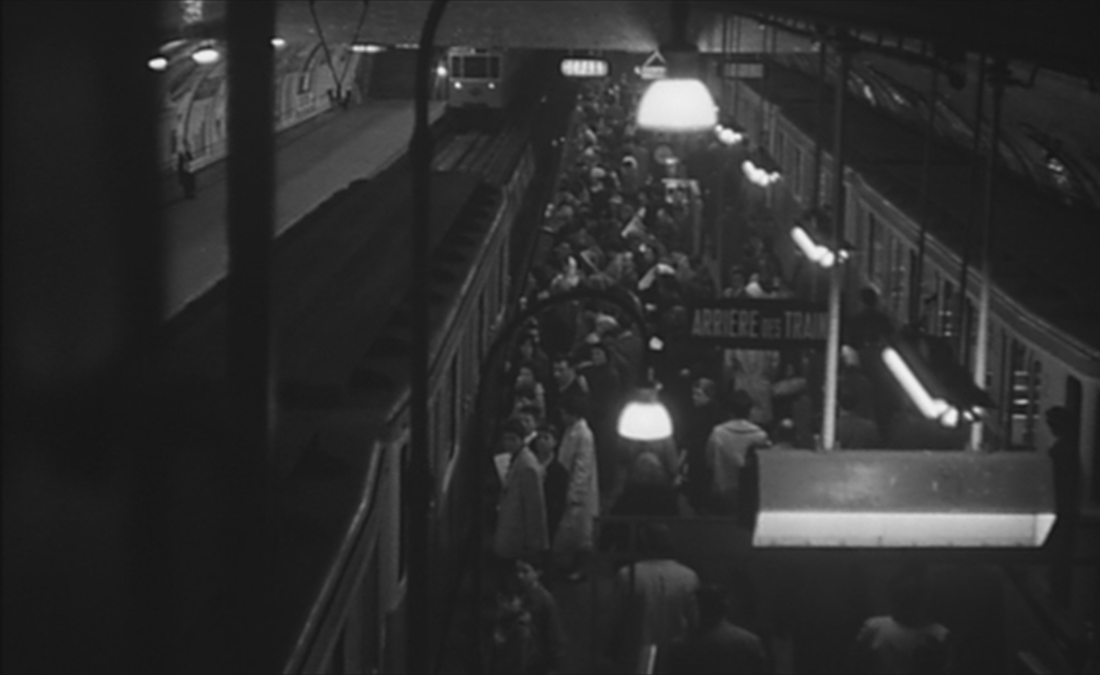
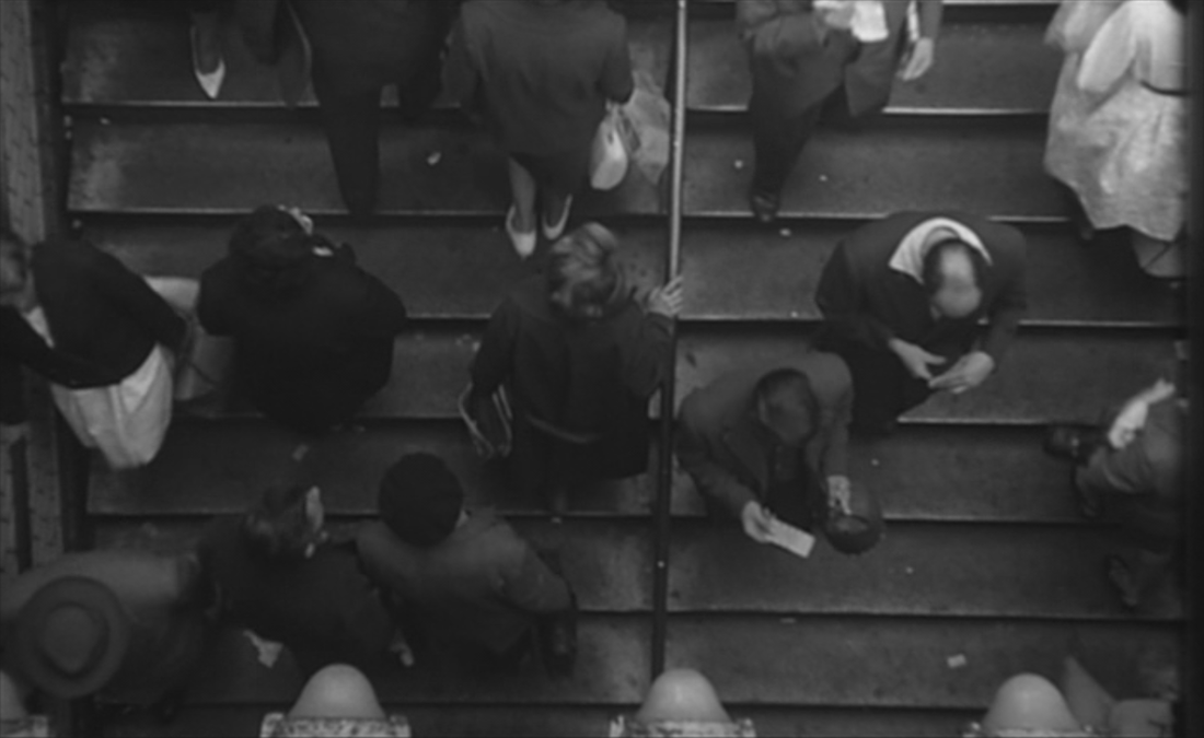
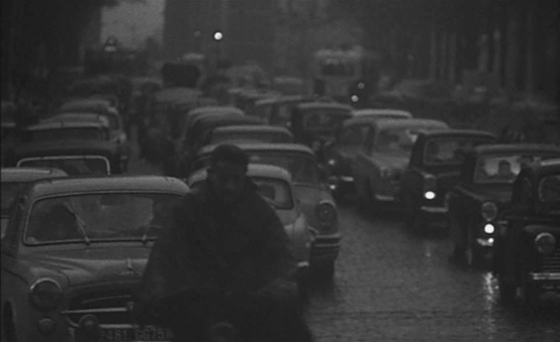
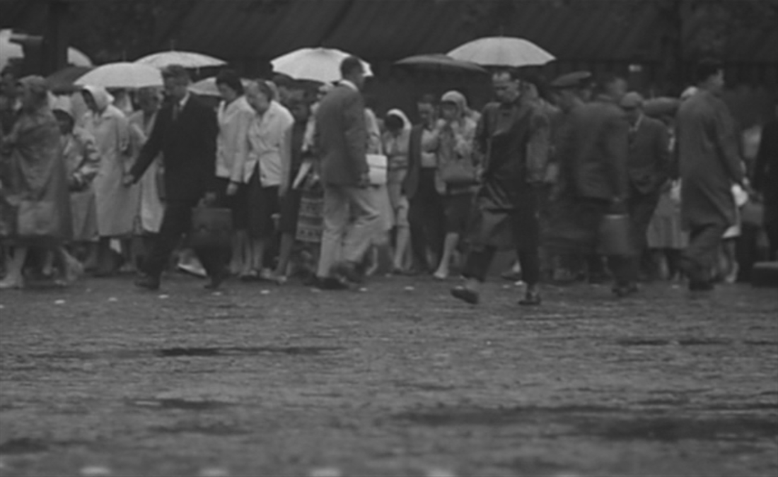
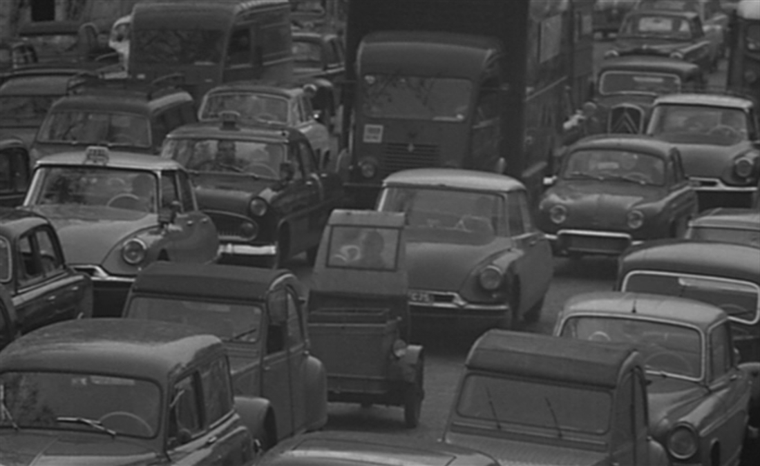
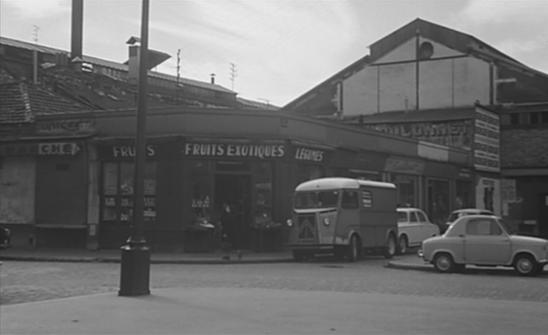
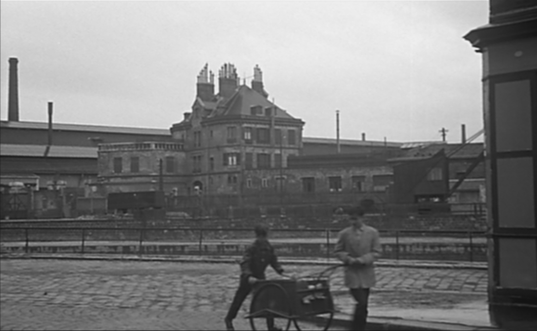
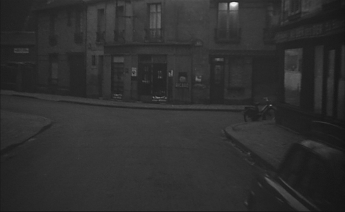
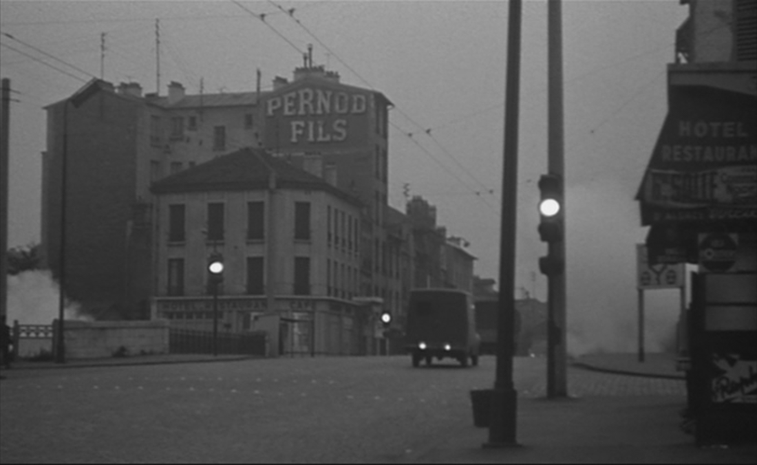
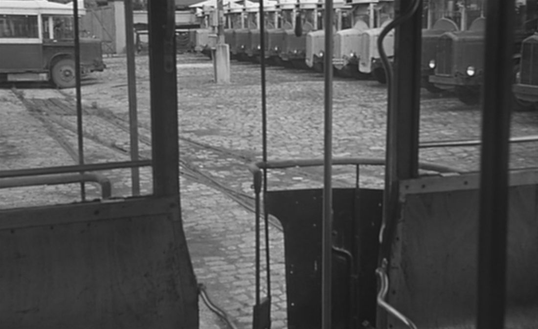
L'Amour existe opens in familiar city-symphony mode, as Paris comes to the end of its working day: |
|
|
|
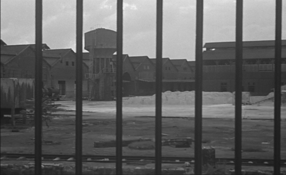
Among these emblematic views a set of destination indicators for buses suggests that the film will be moving out of the city into the suburbs, towards Porte des Lilas, Fontenay, Rosny sous Bois and Neuilly Plaisance:
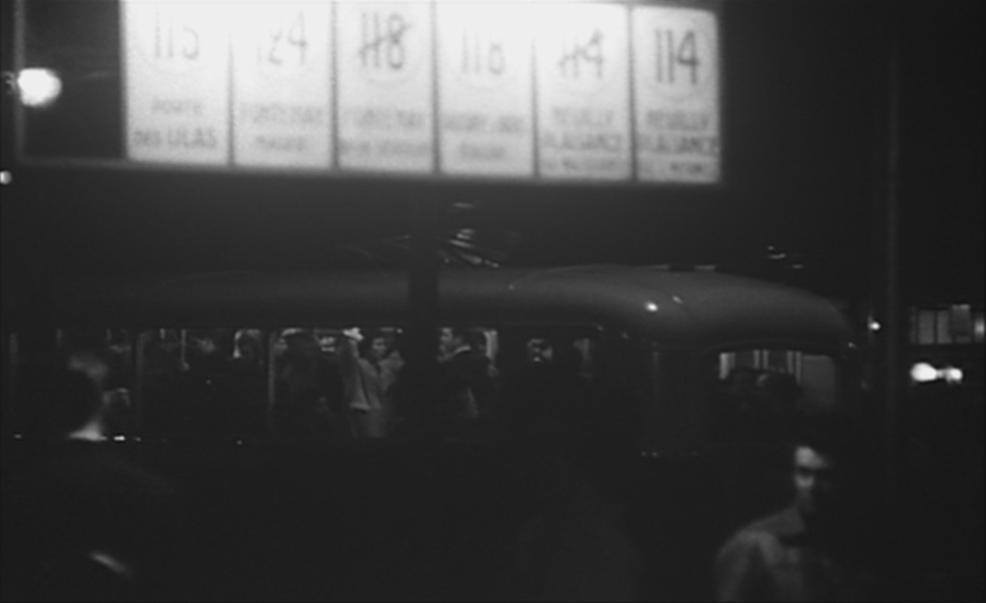
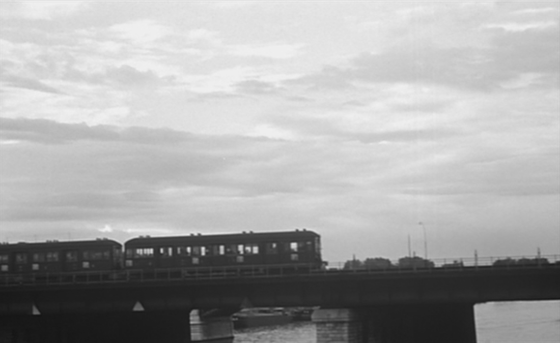
Actually, here, the film has already left Paris, since this must be Vincennes - the only possible point of convergence for the buses listed.
Some of the other locations glimpsed in the opening sequence may also be already at the edges of the city, but the general and generic impression it creates is of a busy metropolis from which we shall be escaping.
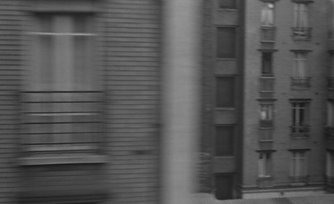
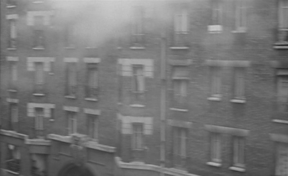
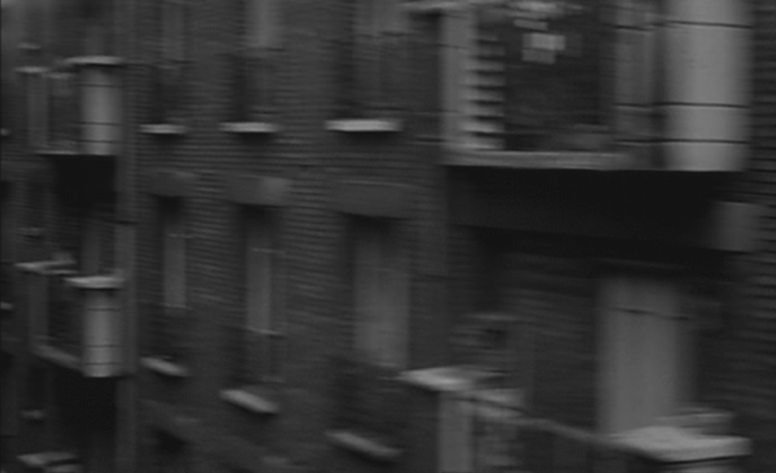
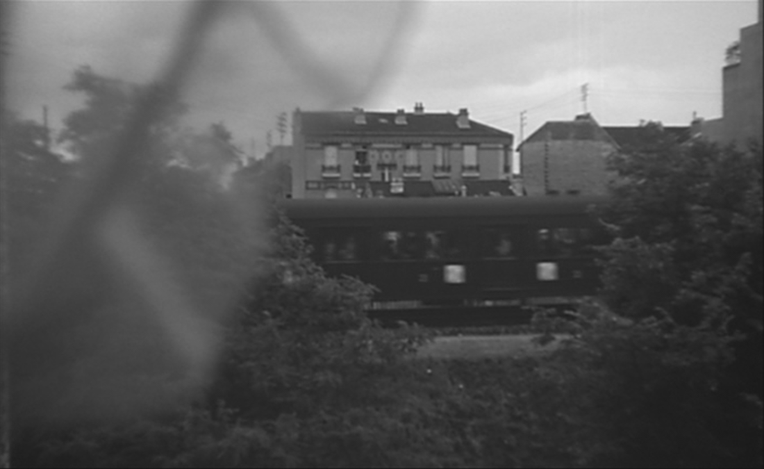
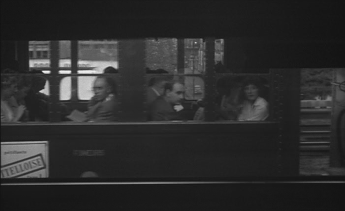
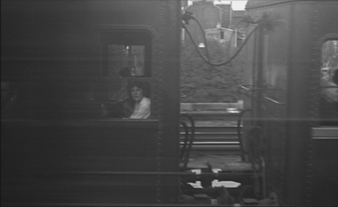
The chosen escape route follows on from the railway station at which the film opened (probably the gare Saint Lazare) - a single tracking shot from a train window takes in rapid views of railside housing and streets:
Some of the other locations glimpsed in the opening sequence may also be already at the edges of the city, but the general and generic impression it creates is of a busy metropolis from which we shall be escaping.
The chosen escape route follows on from the railway station at which the film opened (probably the gare Saint Lazare) - a single tracking shot from a train window takes in rapid views of railside housing and streets:
|
|
|
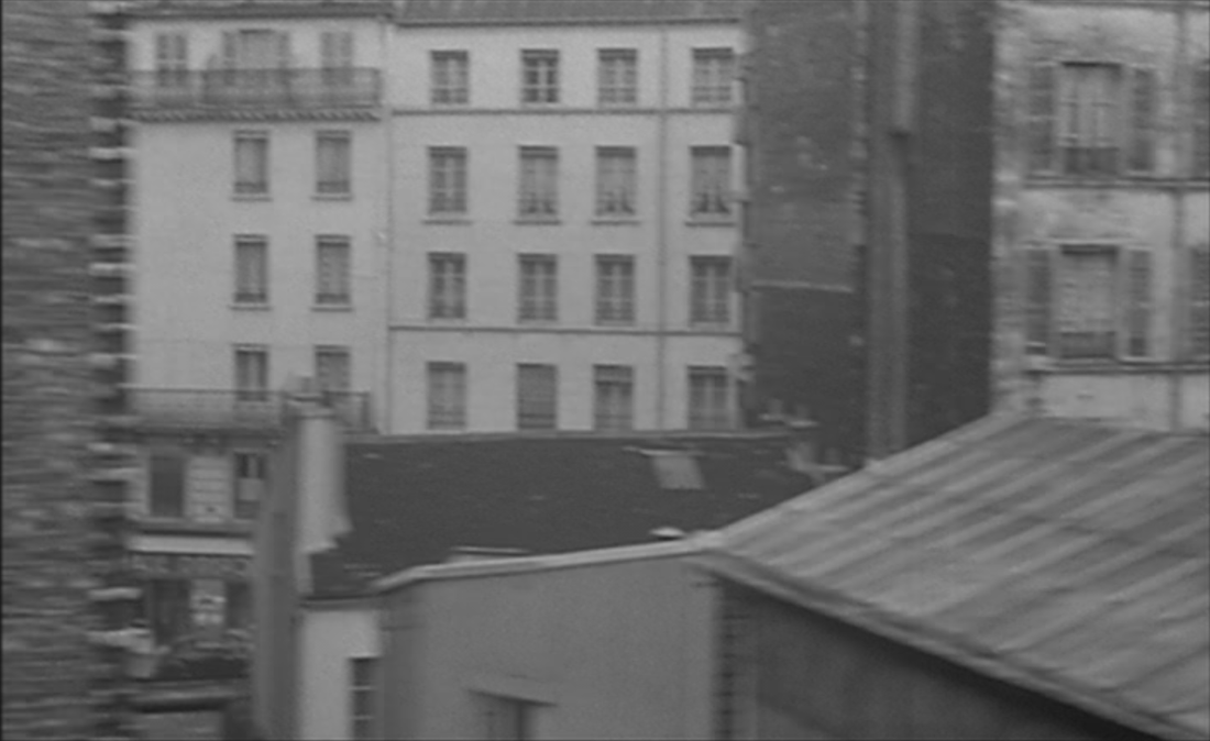
Trains are the film's dominant vehicular motif. The shot above is followed by a train seen from a window in the suburbs. 'For a long time I lived in the suburbs. My earliest memory is a memory of the suburbs. At the edges of my memory, a suburban train passes, like in a film':
1/ Courbevoie, Pantin, Vincennes, bords de Marne, Levallois-Perret, Le Perreux, Montreuil ...
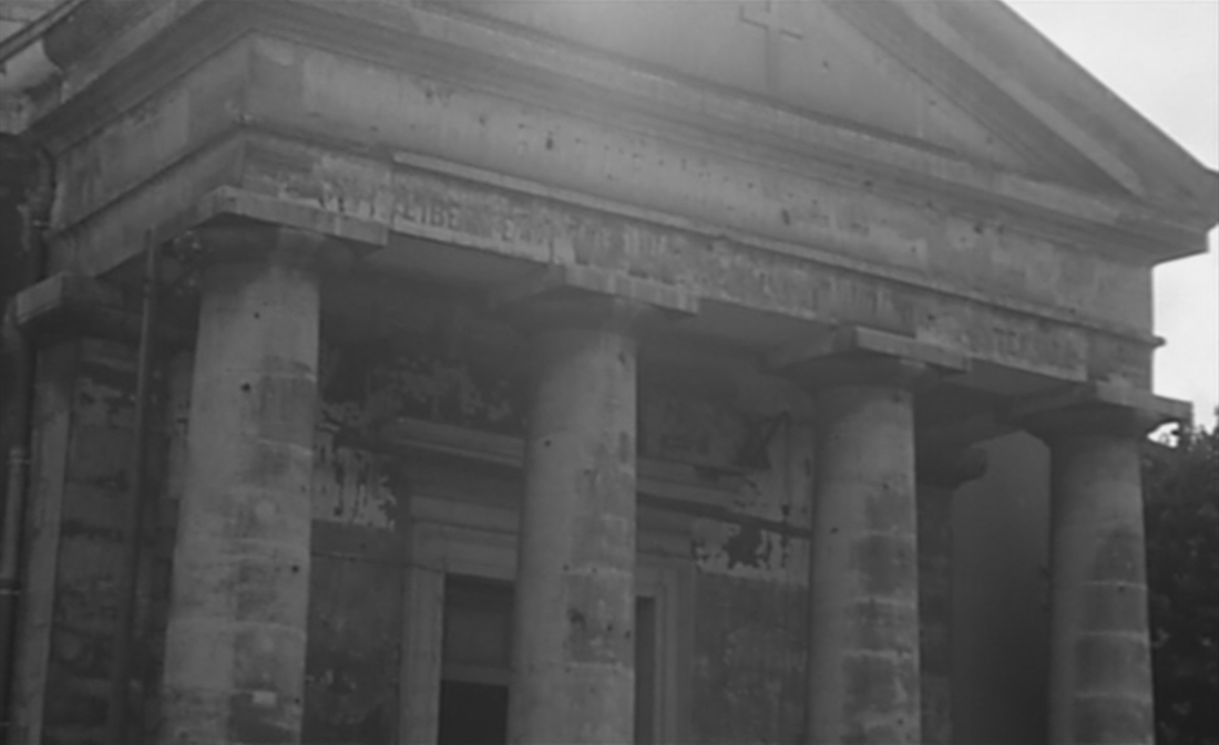
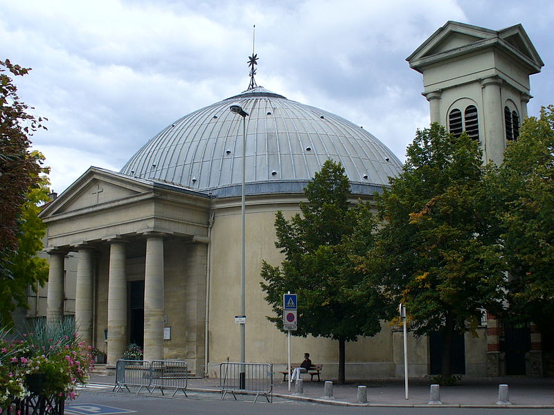
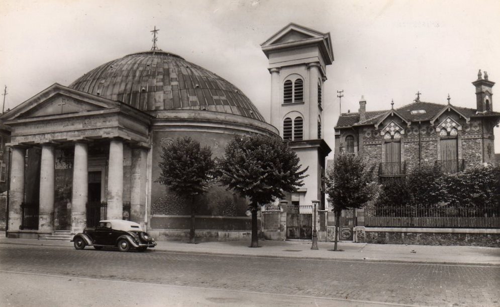
At this point the first specific place is named and shown. 'For a long time I lived in this part of Courbevoie', says the narrator, accompanied by a view of Courbevoie's église Saint Pierre-Saint Paul. The church was built, as the Revolution was raging all around, in 1790-93 (architect Louis Le Masson, see here). The narrator tells us it survived bombing in World War Two:
|
Google Street View
|
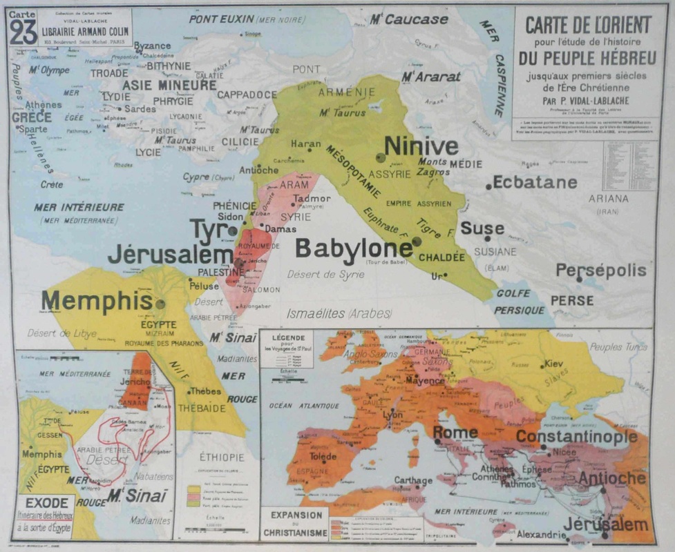
This is followed by a view into the window of a nearby school (at 13 boulevard Saint Denis, built 1927). The location is dressed to make a further point about history - in the classroom has been placed a 'map of the Orient for the study of the Hebrew People':

|
|
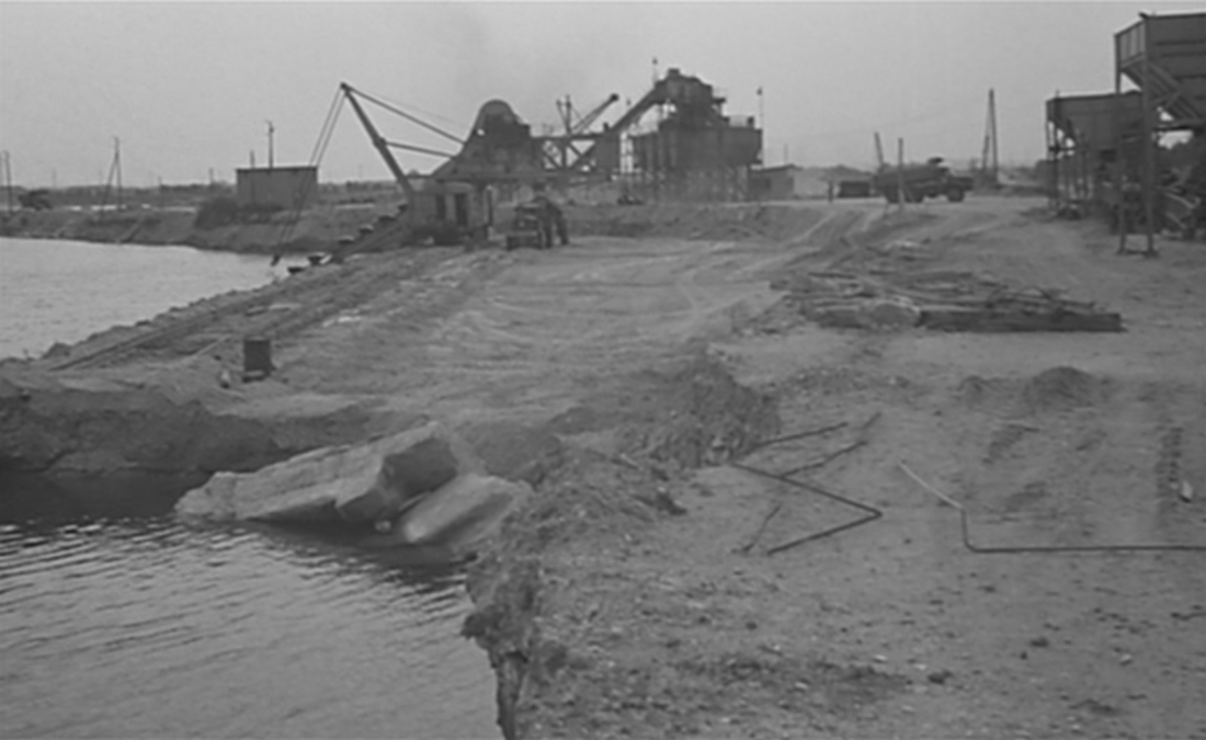
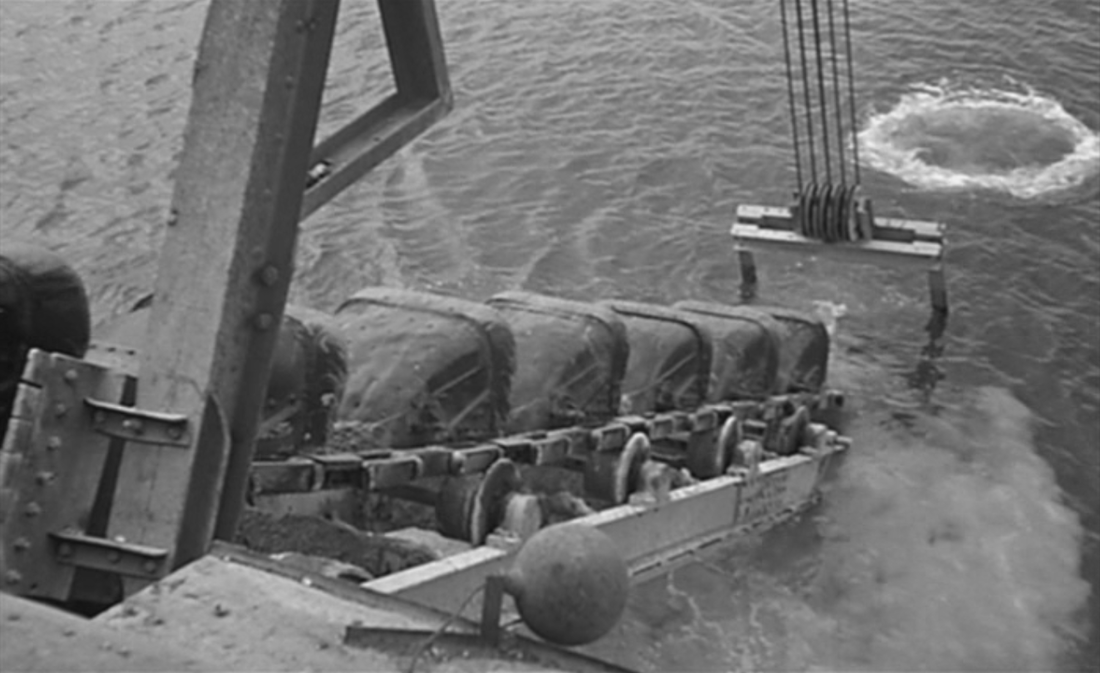
In their topographical indeterminacy, two views of a machine dragging up river sand serve as generic background against which are set identified places such as Courbevoie:
|
|
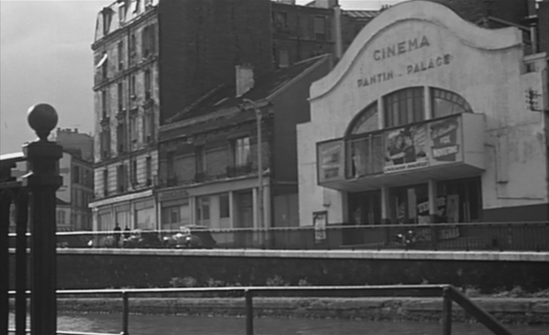
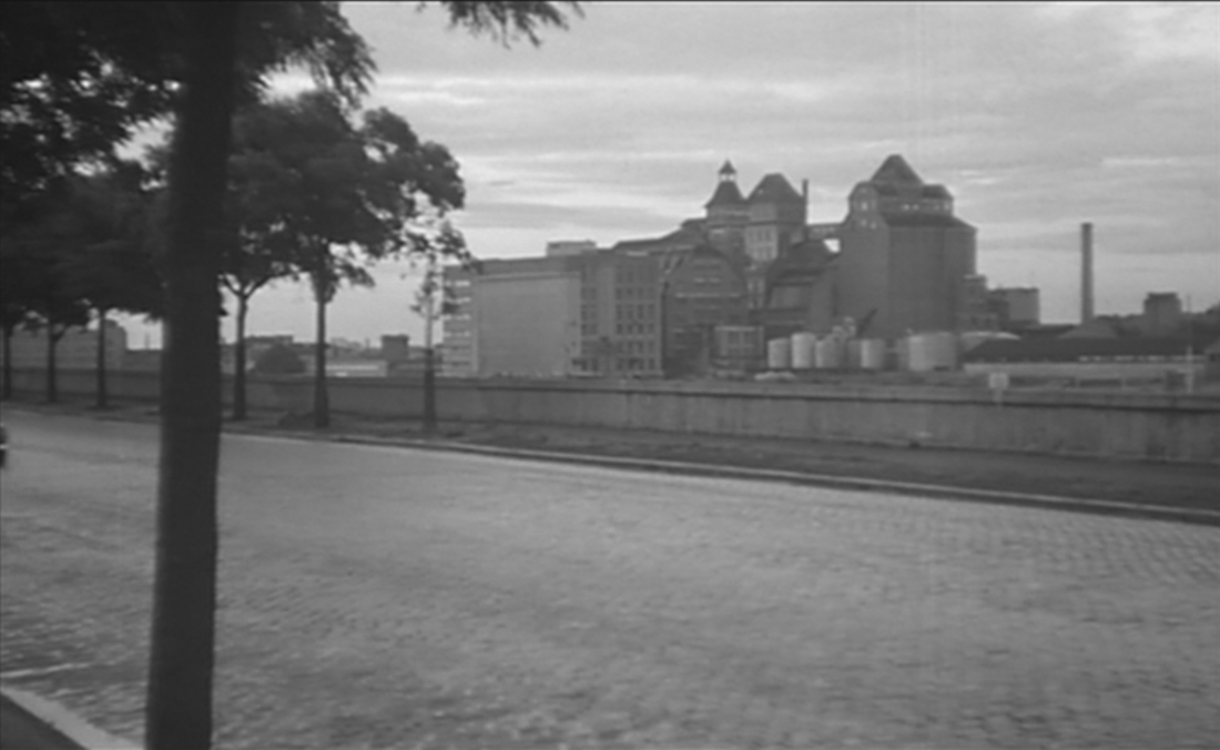
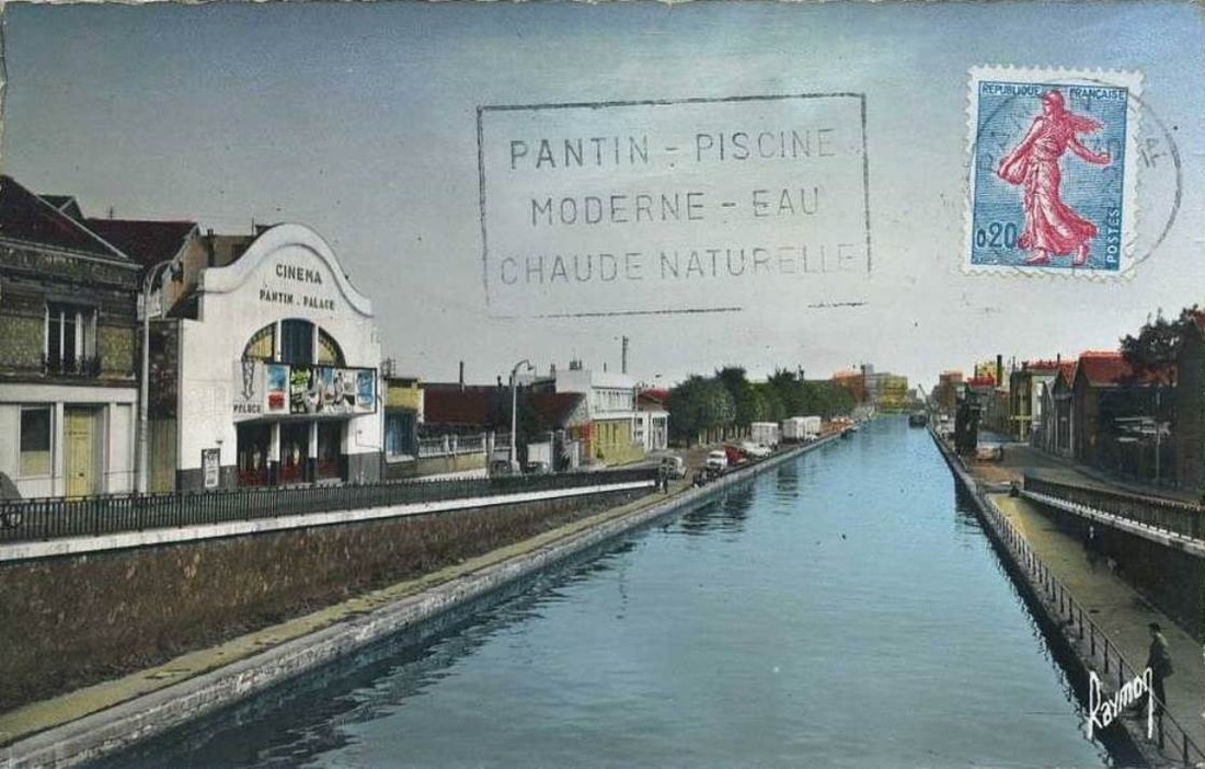
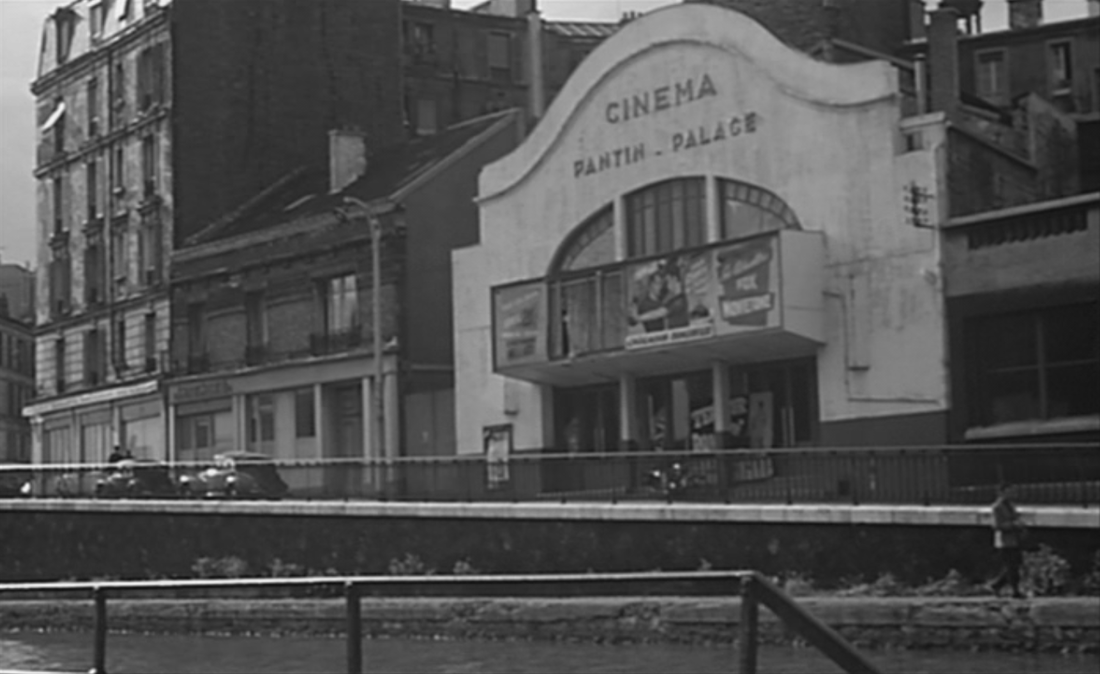
They are followed by another named place, with views of the Pantin Palace cinema and the Moulins de Pantin, industrial flour mills dating from 1884 (see here):
|
|
A view of a horse and driver in training accompanies a mention of the Polygone de Vincennes, an open space just south of the town, so that may well be there, and we are probably somewhere near the Marne when it is mentioned, though I coudn't say where exactly is this riverside guinguette:
|
|
A mention of Suresnes accompanied by views of Levallois-Perret (the place Jean Zay) moves the film back to the west of Paris:

|
|
Though I wouldn't know whether to attach the street in these two shots, below, to Levallois-Perret, Suresnes or another suburb entirely:
|
|
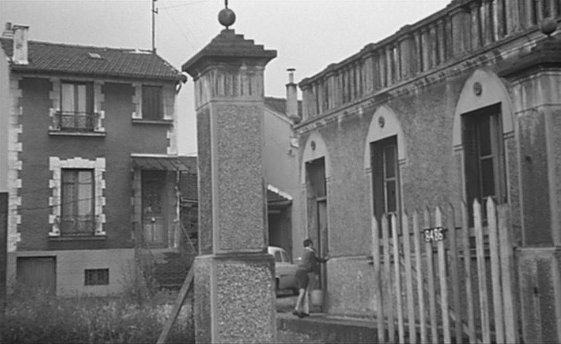
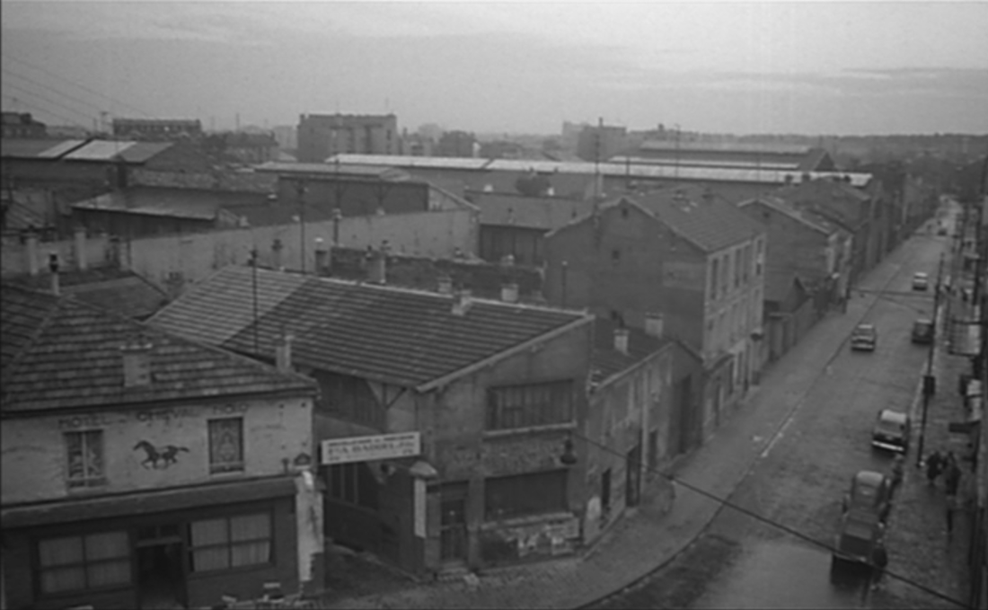
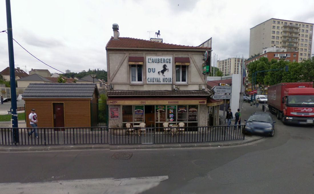
The narrator describes the banlieue as frozen in the clichéed décor of French cinema, then mentions that Méliès's studio in Montreuil has been demolished. What we see as he says this is, firstly, a view of a street that I think is in Pantin:
|
Google Street View
|
The 'hôtel du Cheval Noir' to the left seems to match 'L'Auberge du Cheval Noir', right, at the Carrefour des Limites in Pantin.
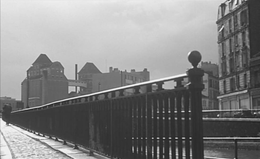
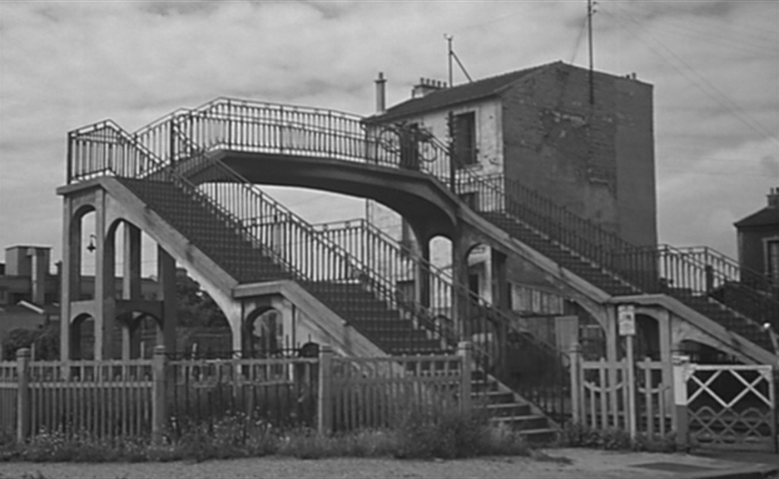
The next shot is of a stairway over railway tracks at Bécon-Les Bruyères, just north of Courbevoie:
The next shot is of a stairway over railway tracks at Bécon-Les Bruyères, just north of Courbevoie:
|

|
This canal- or riverside view, with dockside crane, factory building and chimney, should be recognisable from the curiously shaped older building in the centre, but I haven't found it yet:
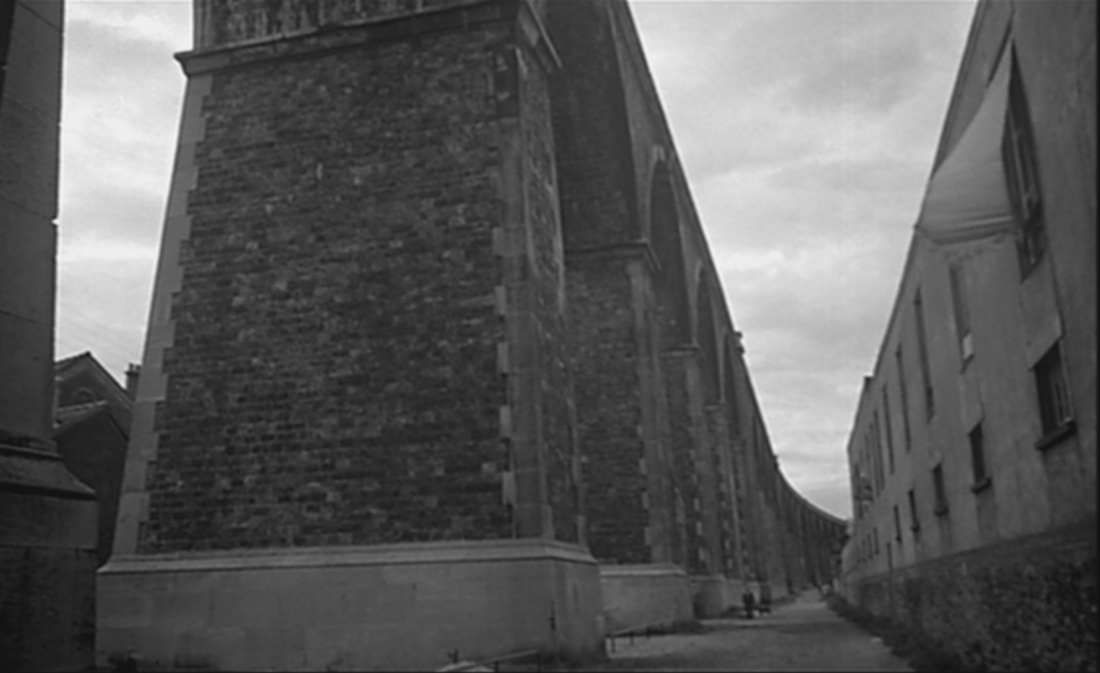
This is the railway viaduct between Nogent and Le Perreux, seen from the quai d'Artois, looking down the rue latérale au Viaduc:
From this railway bridge we cut back to another view of the moulins de Pantin, this time from behind, seen from the avenue Edouard Vaillant:
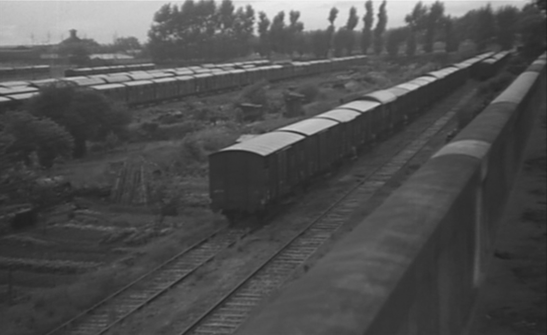
The shot pans left to take in a view of railway lines:
This sequence closes with a forward tracking shot down a street in Montreuil, the rue François Arago as it leads into the rue Diderot:
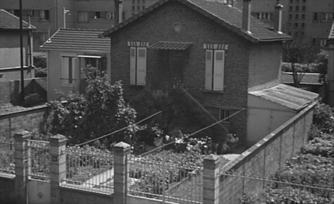
2/ suburbia - l'habitat pavillonnaire
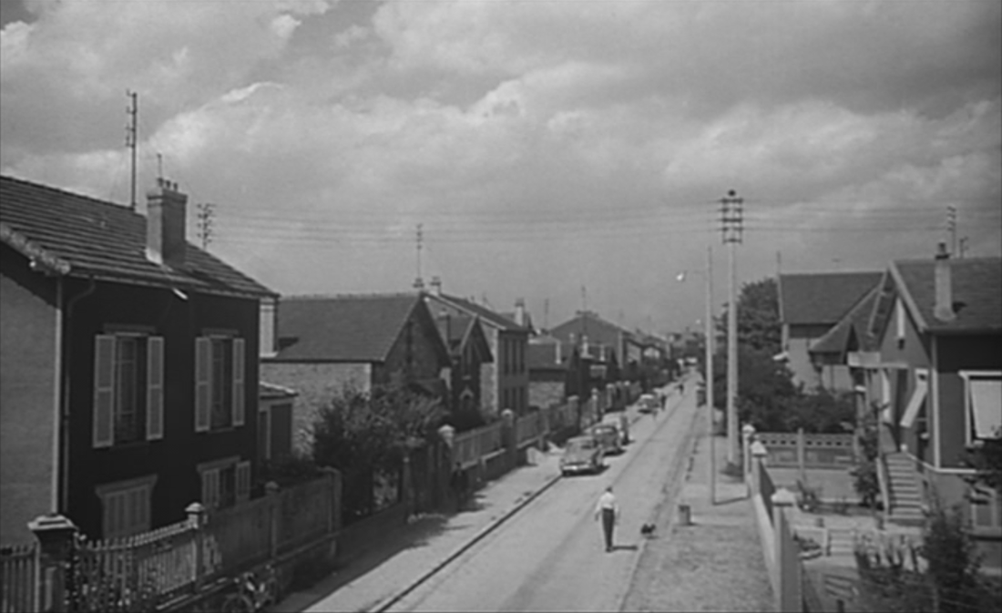
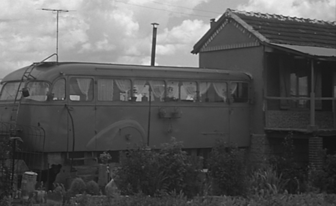
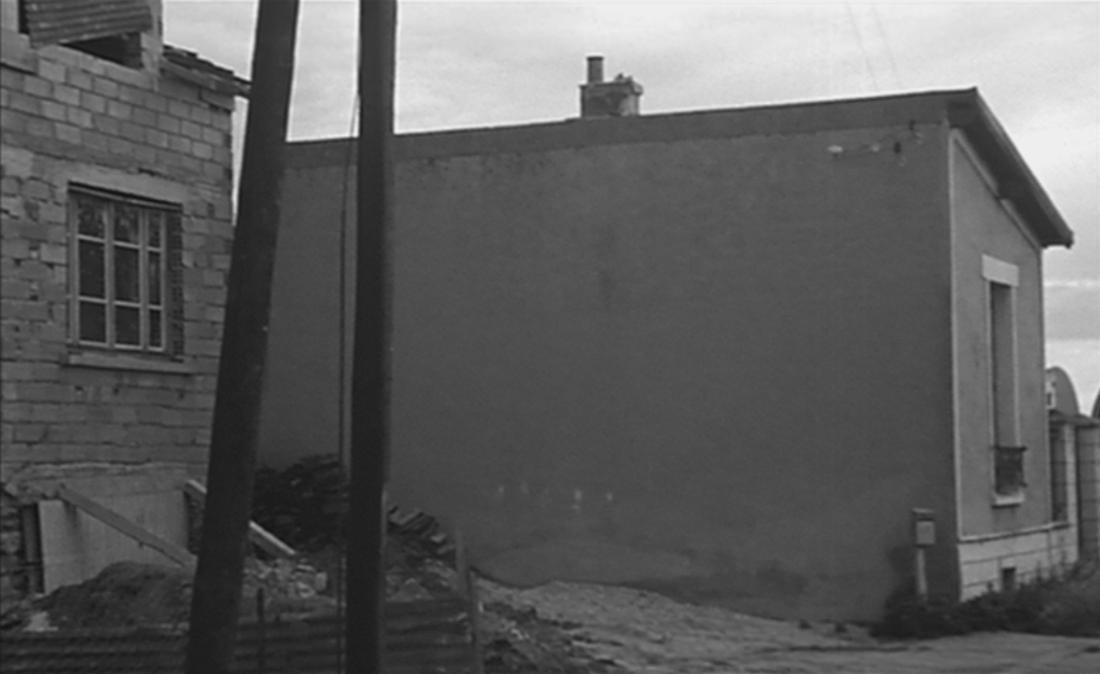
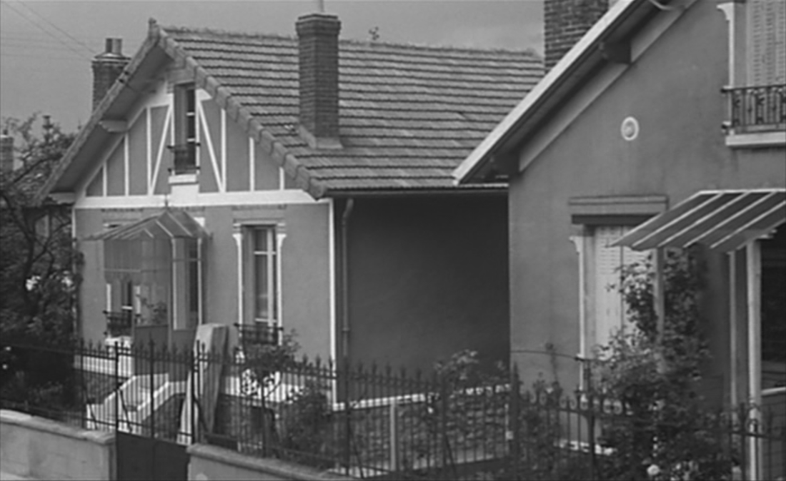
An alternative view of the banlieue shows detached houses in quiet streets, pavillons, almost all beyond my powers of identification, despite the ethos of individuality that pervades this suburban ideal:
|
|
The extra accommodation confected out of an old coach reinforces the individualistic ideal but introduces a note of shabbiness.
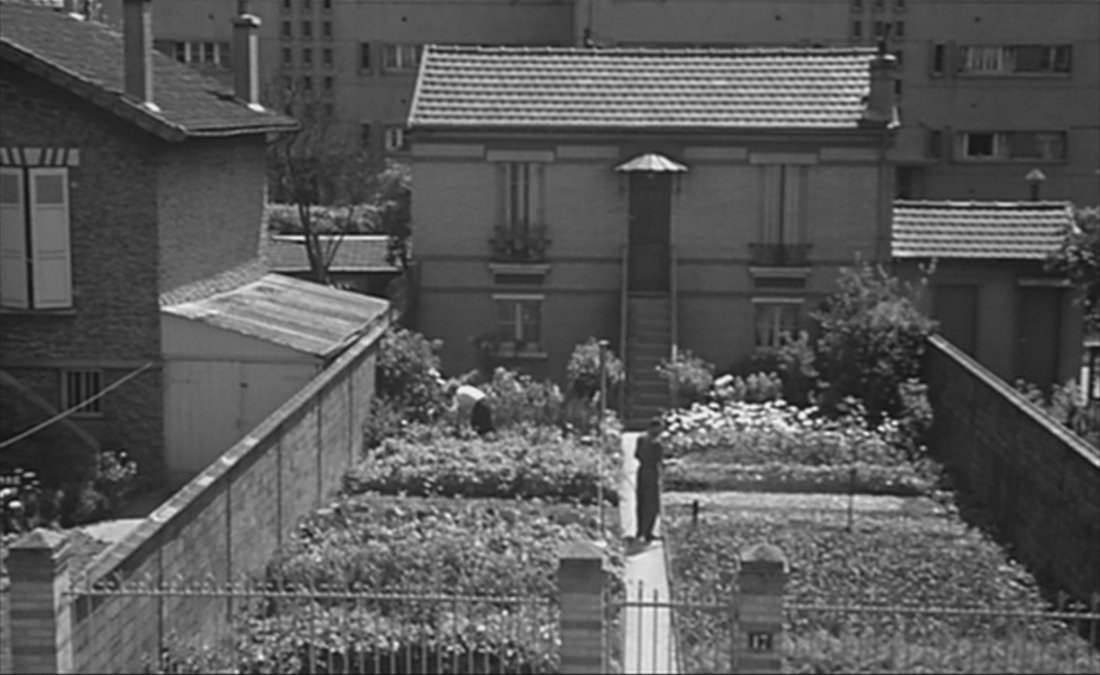
One of these streets can be identified, the rue de la Prévoyante at Villeneuve le Roi:
One of these streets can be identified, the rue de la Prévoyante at Villeneuve le Roi:
|
|
The clue is in the aeroplane that passes right to left at the end of the street, taxiing along a runway at Orly Airport:
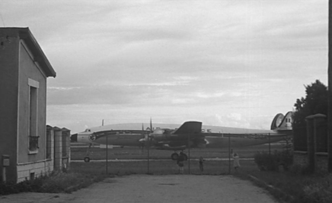
|
|
Another street shown is probably also near Orly, given the signal-lights placed alongside the houses and the aeroplane passing overhead:
|
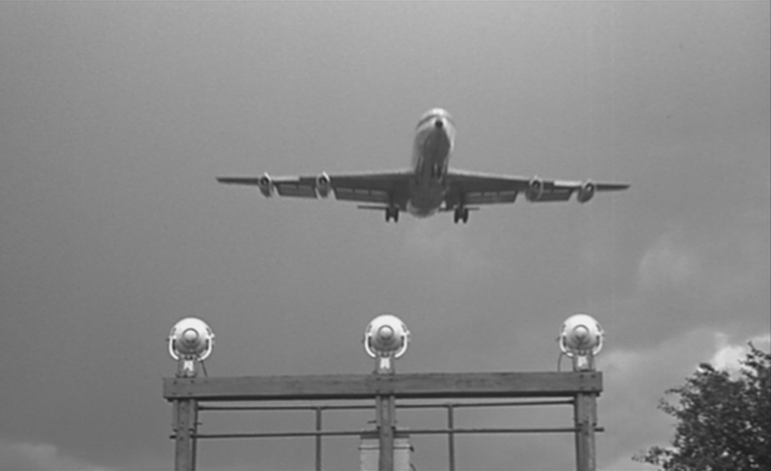
|
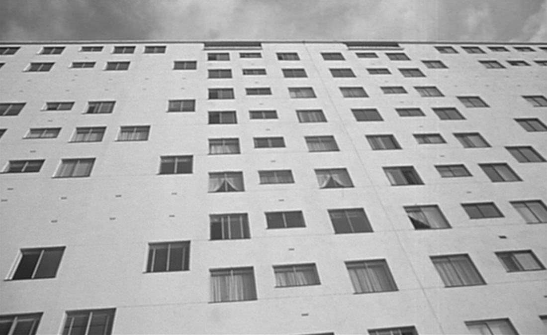
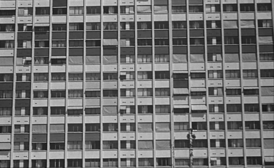
3/ social housing - H.L.M.
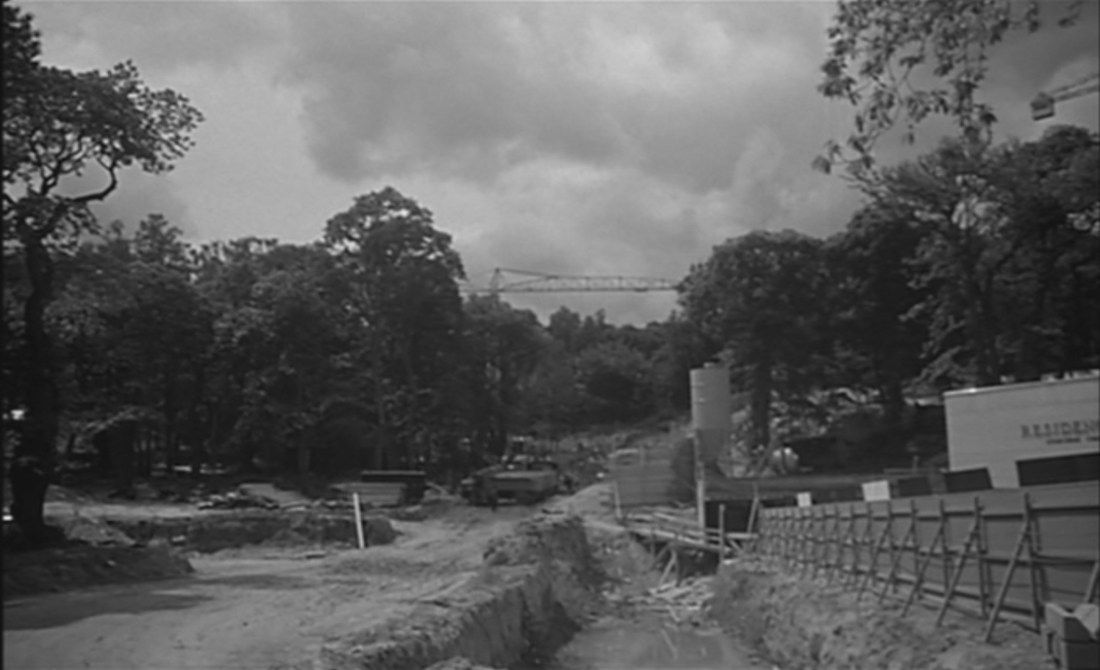
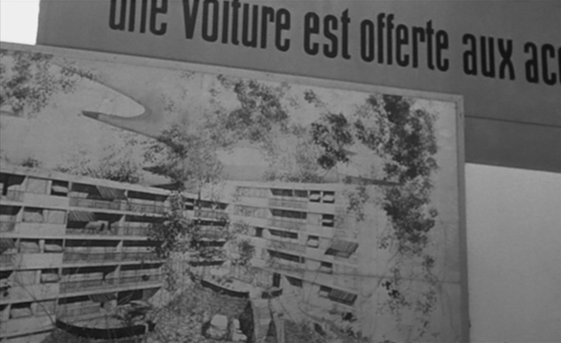
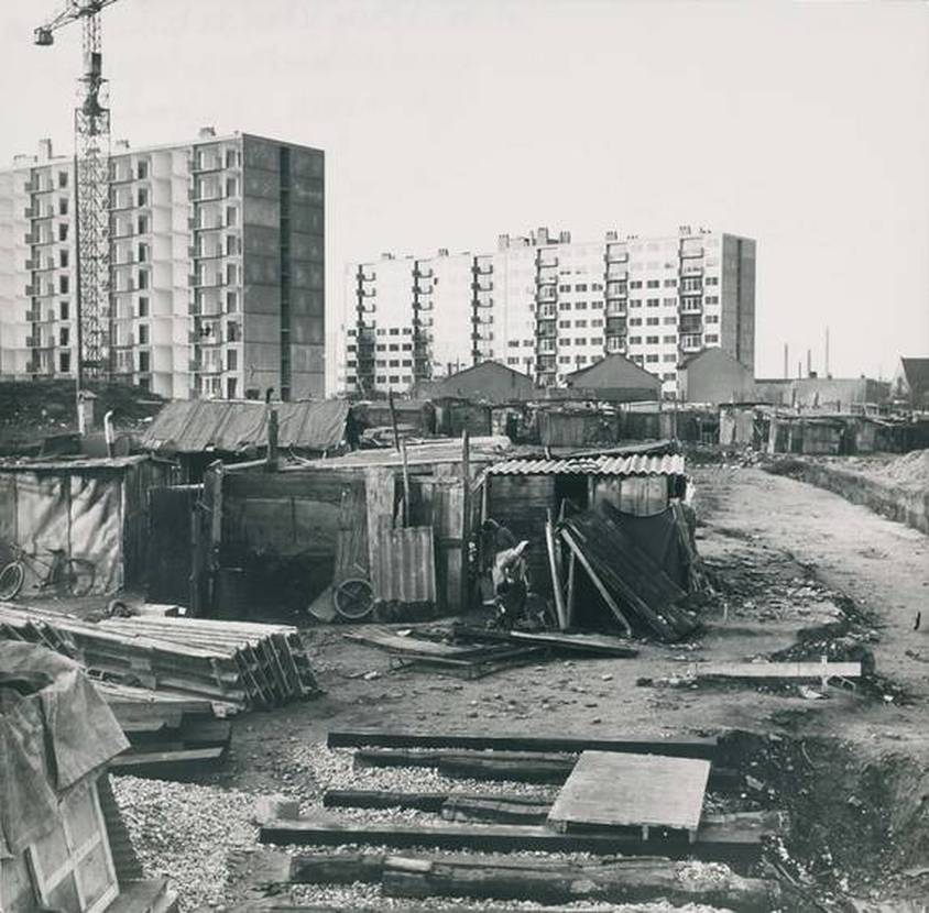
The transition to a different type of banlieue housing is made via a view of a building site amidst greenery and a sign announcing future 'résidences'. This is followed by views of the Domaine de Château Gaillard development in Maisons-Alfort, pictured in combination with vestiges of the old château:
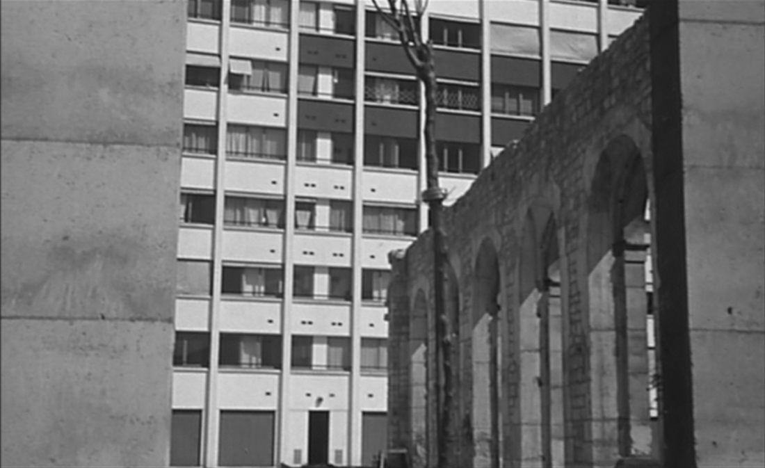
|
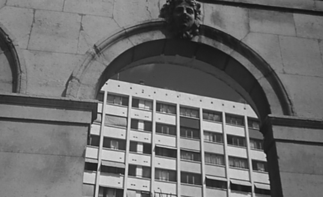
|
This same location had featured the year before in Gilles Grangier's Archimède le Clochard - see here for illustrations.
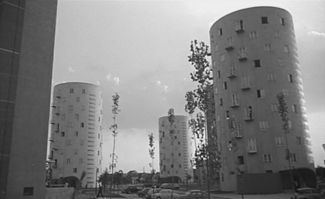
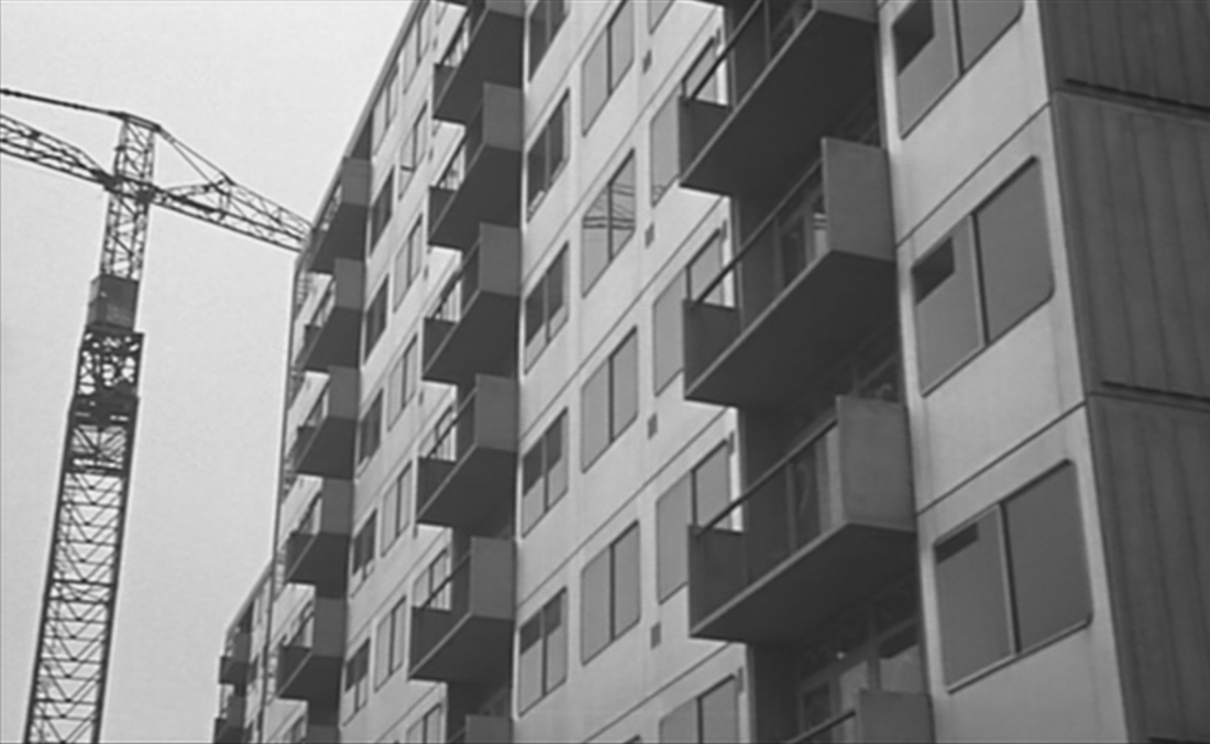
Then come views of six different cités, concentrating on two, Les Courtillières at Pantin and an estate in Fresnes:
Then come views of six different cités, concentrating on two, Les Courtillières at Pantin and an estate in Fresnes:
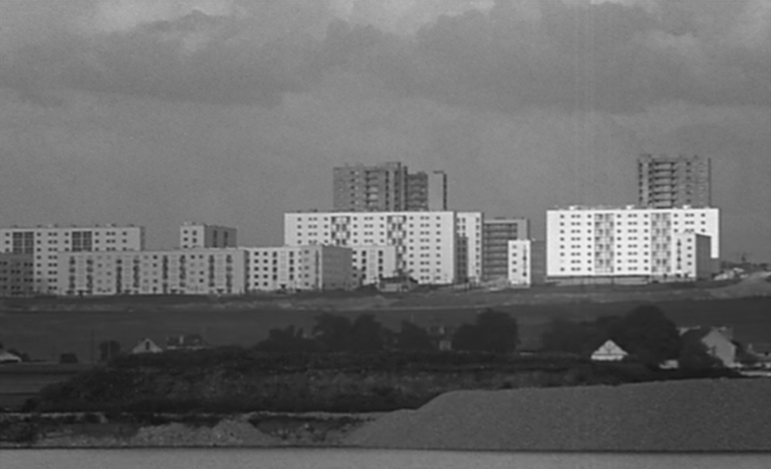
Créteil, Mont Mesly (I think)
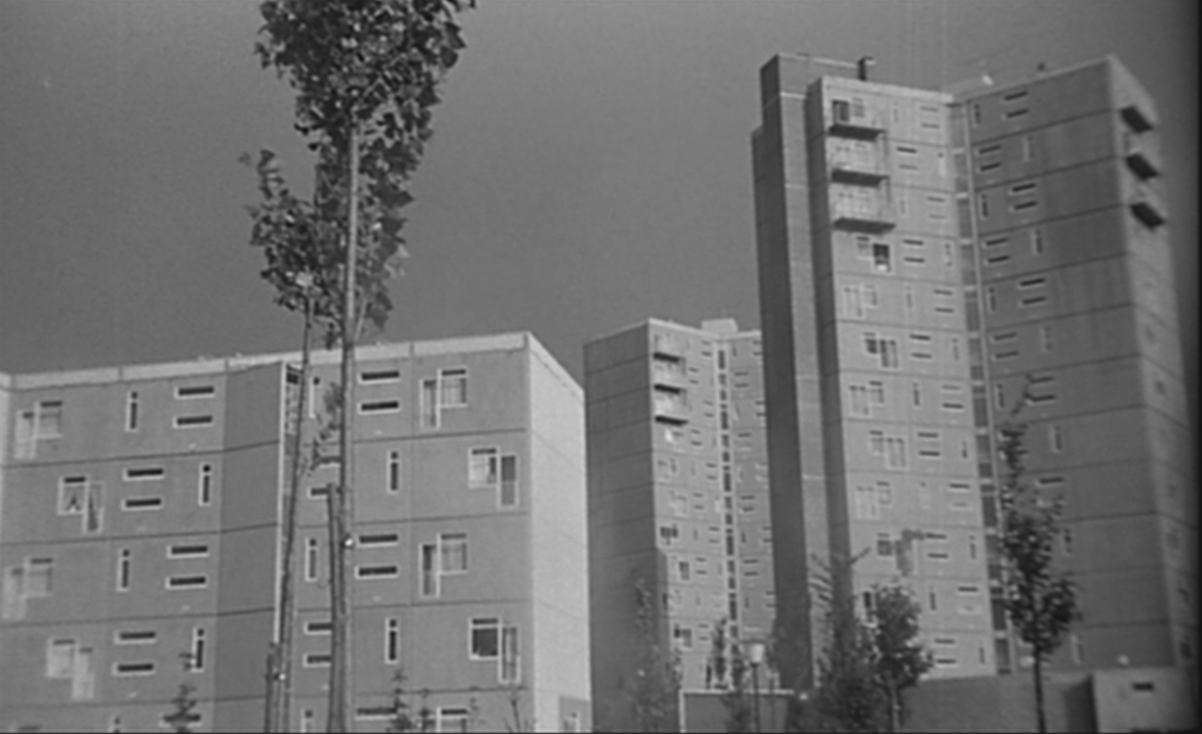
Pantin, les Courtillières
Fresnes, avenue de la Division Leclerc
|
Bobigny, cité de l'Abreuvoir
Maisons Alfort, Château Gaillard
Nanterre, cité des Canibouts
|
This H.L.M. sequence also features an artist's impression of the cité under construction in the opening shot:
This, the Elysée 2 estate at La Celle Saint Cloud, is high-class not social housing. The estate was inaugurated by Jean Cocteau and Salvador Dali in 1962, and later featured in Godard's Une femme mariée (1964).
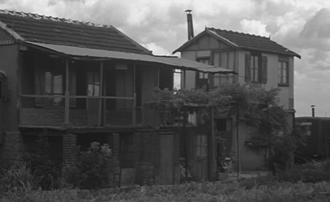
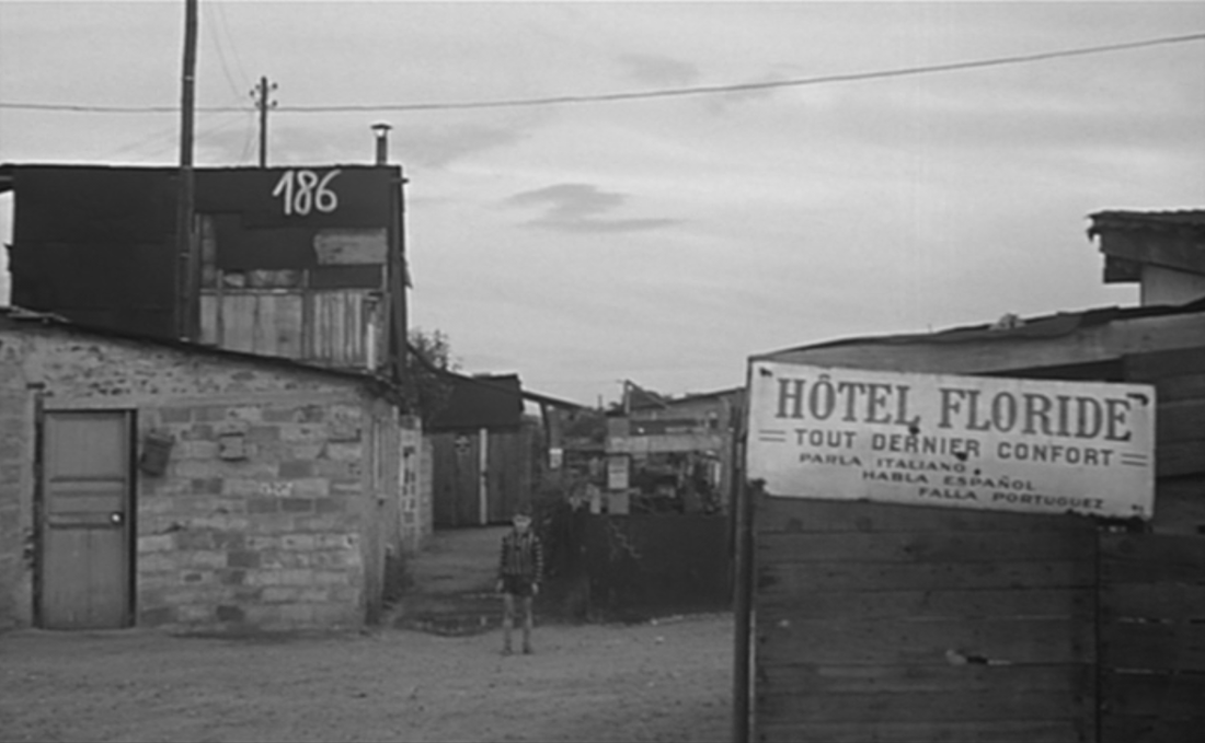
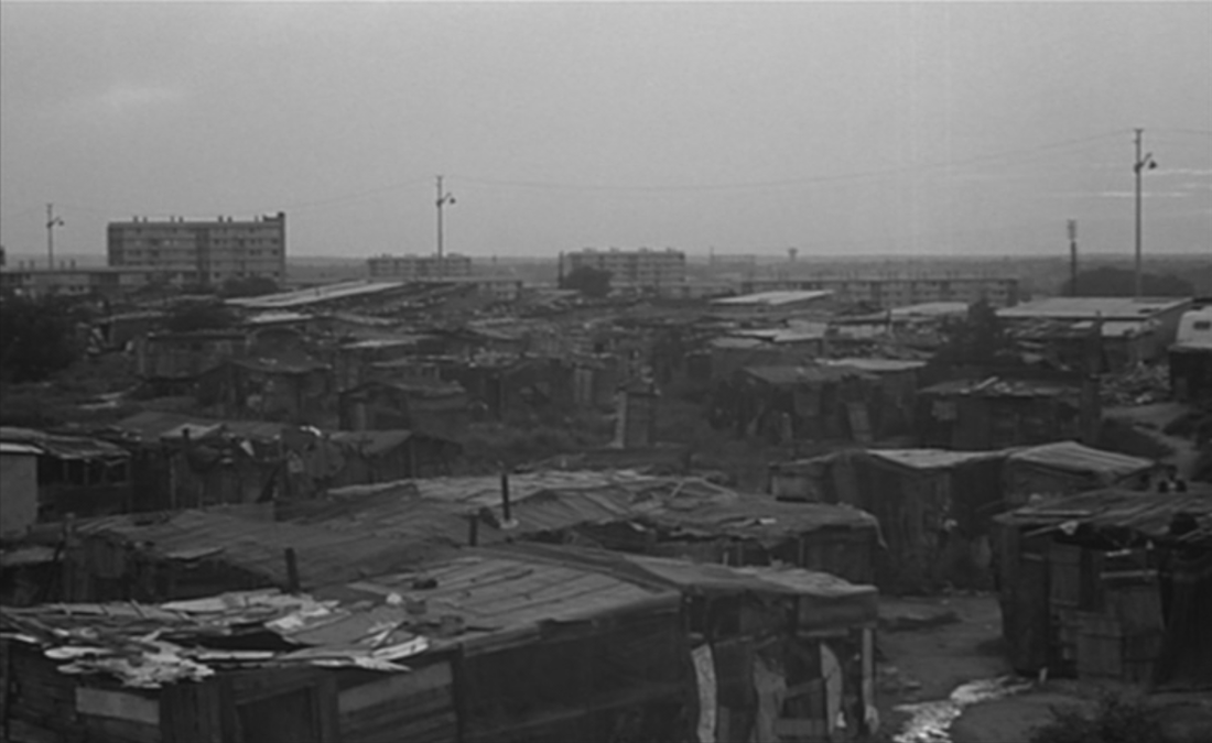
4/ bidonvilles
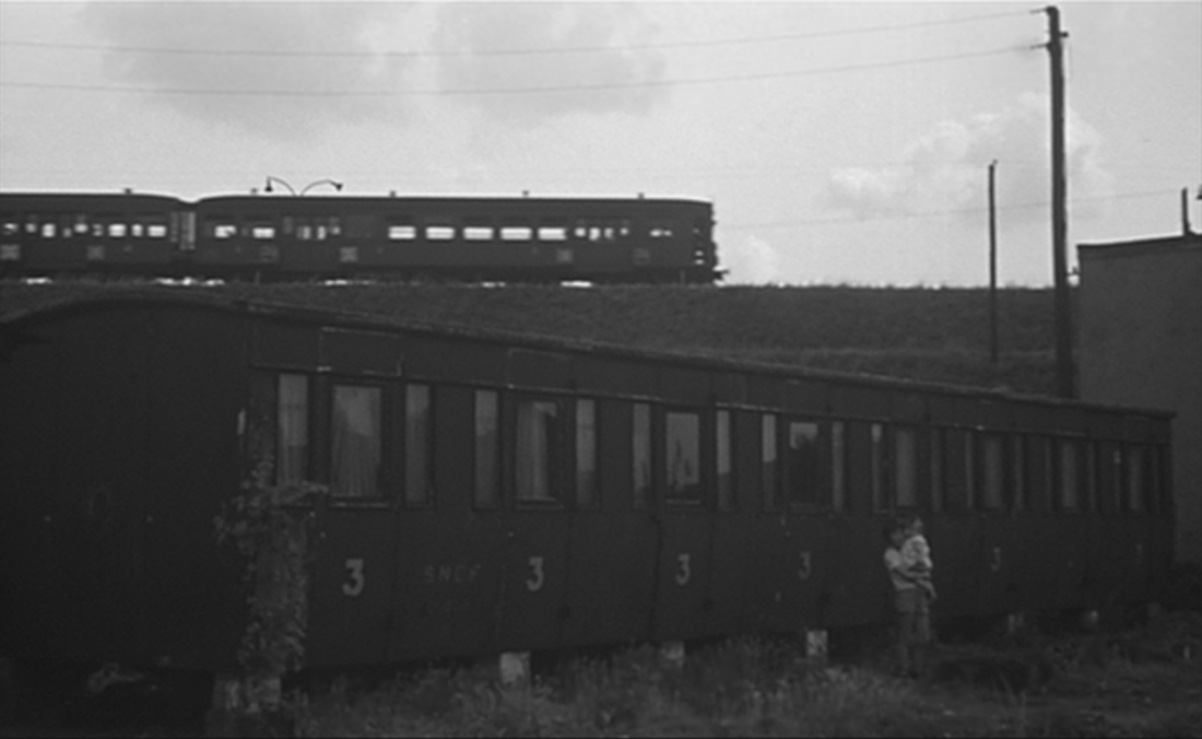
The transition to a third type of banlieue housing is via a shot showing two trains. One is moving on somewhere, recalling the train journey at the beginning of the film; the other is fixed, converted into a dwelling place like the coach on stilts we saw amid the individual pavillons:
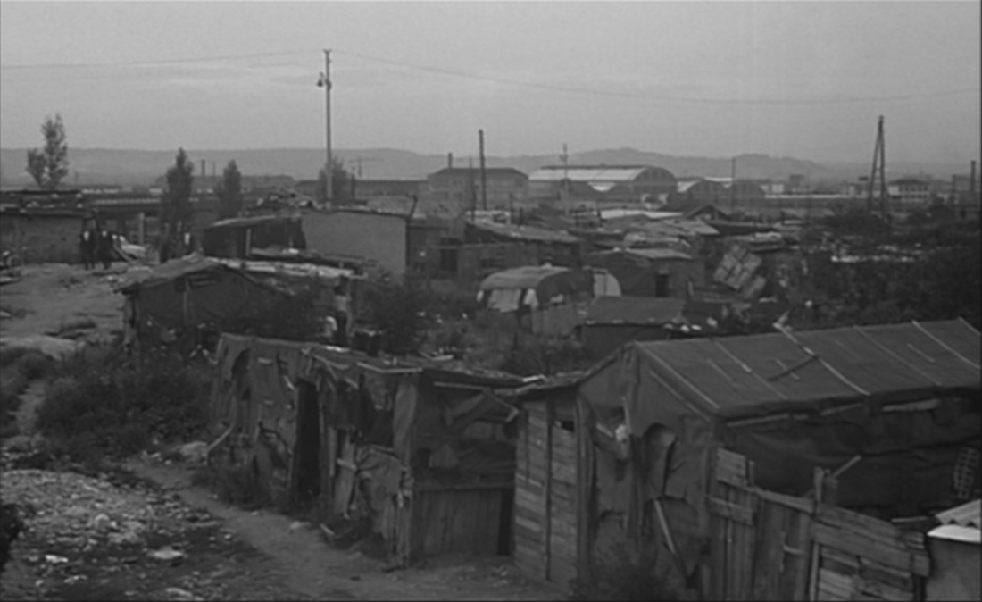
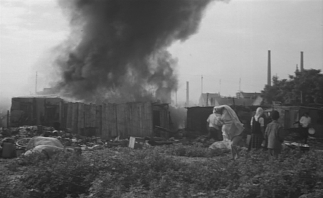
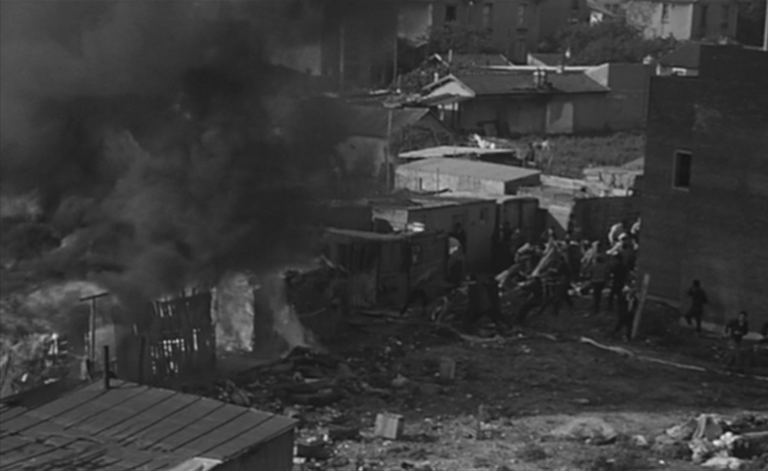
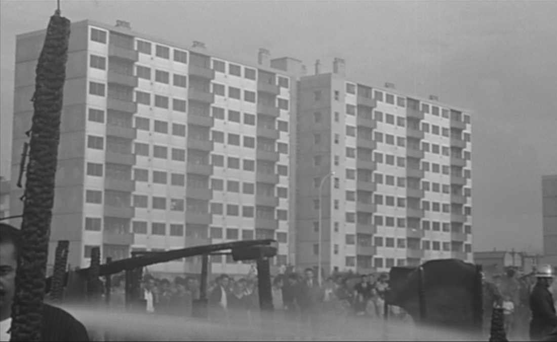
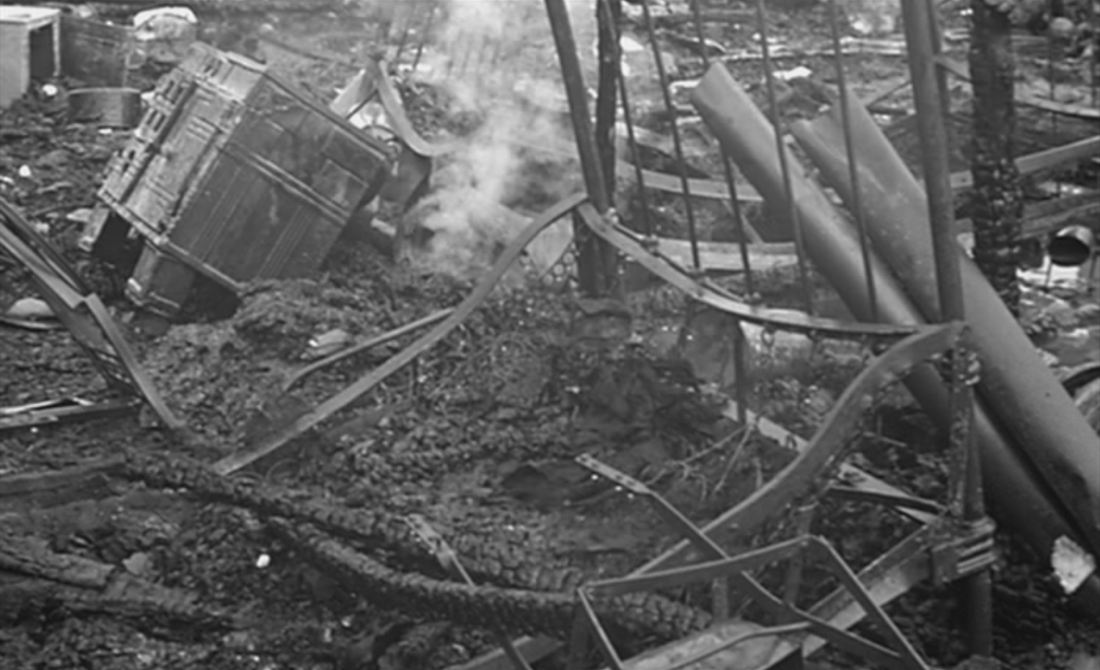
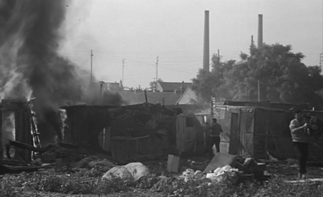
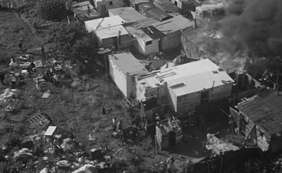
The rest of this sequence documents the shantytowns of the Paris region. These generic-seeming views may be from different places. The only one I can identify is the last, where a destructive fire breaks out in the Paquerettes area of Nanterre, near a social housing estate already shown, the cité des Canibouts:
|
|
photograph by Henri Guérard
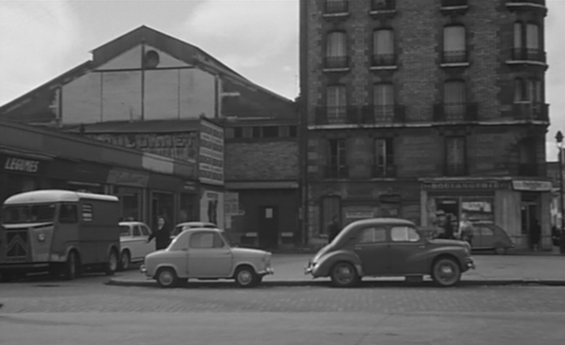
5/ Asnières, Juvisy, Issy-les-Moulineaux, Courbevoie ...
Most of the identifiable locations of L'Amour existe are in districts north-west of Paris, with excursions to points north, north-east, east, south-east, south and south-west. Except that the first and last of these are in Courbevoie, identified as the narrator's childhood home, there is no topographical coherence to the succession of places. They are generally linked by type, through similarity or contrast, but occasionally by a simulacrum of spatial contiguity. A long tracking shot behind a crowded bus at night is followed by a shot of a crowd at night outside a café, suggesting that they are linked as journey and destination:
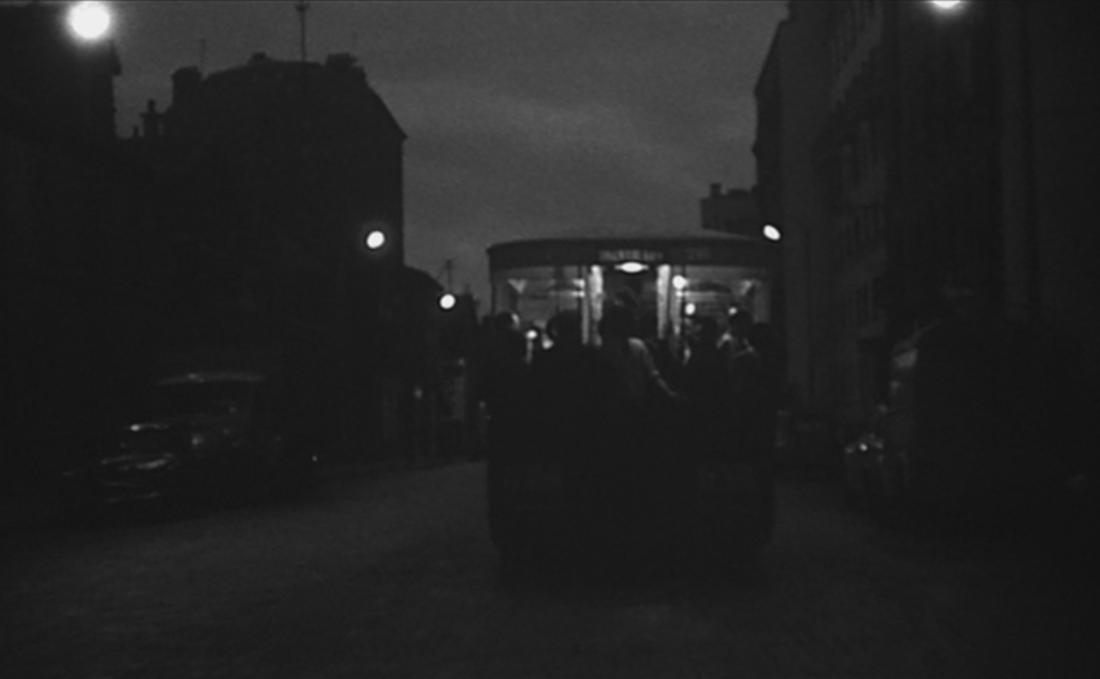
|
|
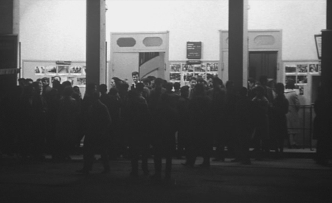
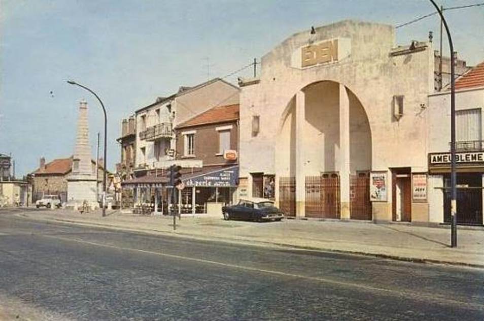
But the bus is on the boulevard Voltaire in Asnières, north west of Paris, heading out towards Argenteuil, and the cinema is the Eden at Juvisy-sur-Orge, about twenty five kilometres away, south of Paris.
In its form the cinema matches the cinema in Pantin shown earlier and both, by their names, illustrate the narrator's list of characteristic appellations - 'Palais, Palace, Eden, Magic, Lux, Kursaal...':
In its form the cinema matches the cinema in Pantin shown earlier and both, by their names, illustrate the narrator's list of characteristic appellations - 'Palais, Palace, Eden, Magic, Lux, Kursaal...':
|
|
|
|
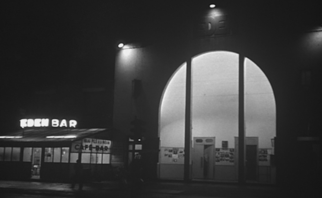
The narrative of a night out at the cinema continues when we see the street emptying and the lights dimmed. Then, in a long tracking shot down a winding street bordered by suburban villas, we follow two youths on a motorbike:
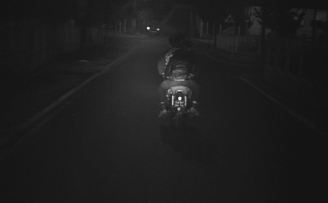
|
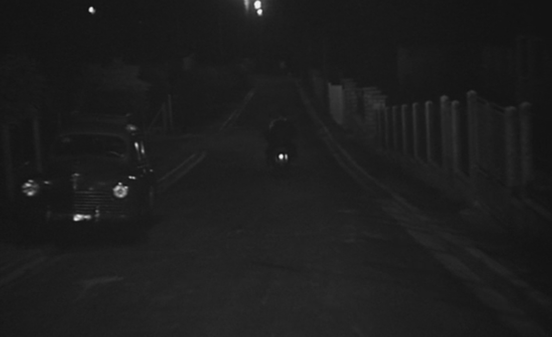
|
This leads to a scene of youths fighting in a patch of wasteland:
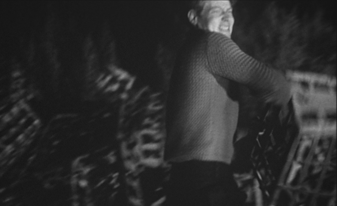
|
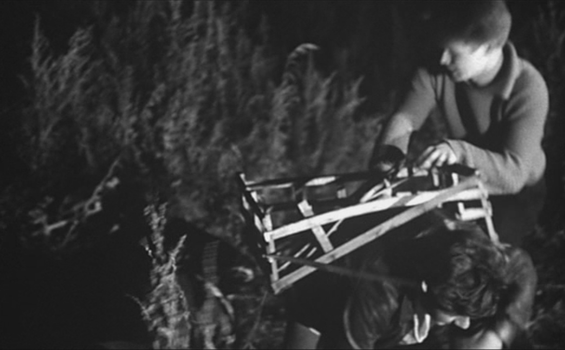
|
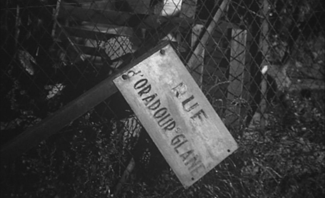
And the sequence ends, enigmatically, with a shot of a broken signpost in front of a villa under construction:
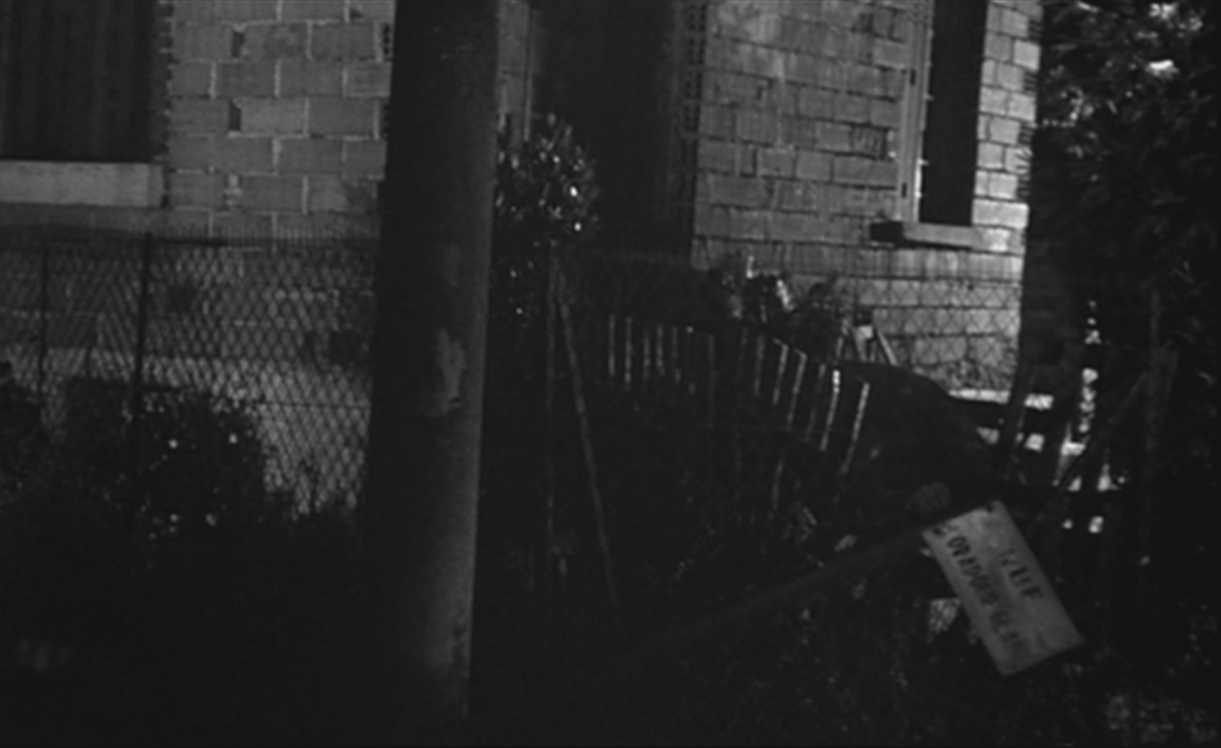
|
|
The camera approaches the fallen sign. It reads 'rue d'Oradour sur Glane', and we can connect this memory of a German atrocity to the bombing of Courbevoie remembered near the beginning of the film, though it is harder to find a connection to the juvenile violence that immediately precedes this shot.
It is hard also to locate this signpost. There was at the time a rue d'Oradour sur Glane in Paris, just on the frontier with Issy les Moulineaux, and another in Romainville, but neither has in it the kind of housing we can see behind the sign. The sign itself is strange in bearing no reference to the local authority that would have put the sign up. It looks almost temporary, like a street sign in a bidonville.
The name on the street sign is, like the map of the Biblical near east seen in a Courbevoie schoolroom, the mark of history elsewhere, a different time and place transplanted to the banlieue.
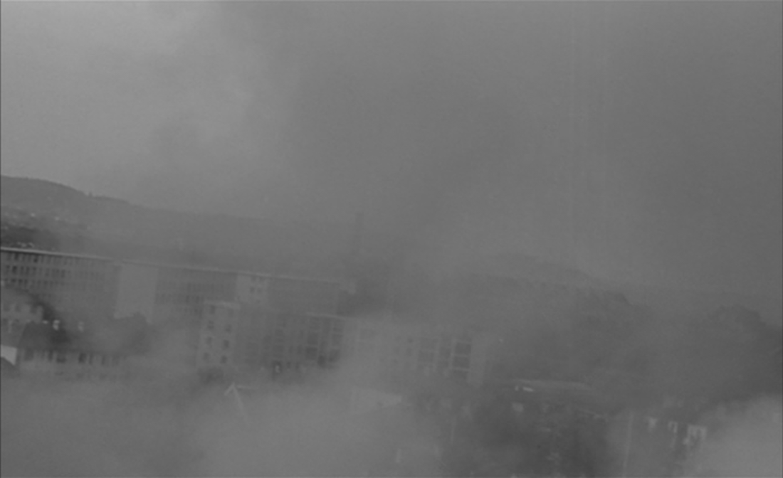
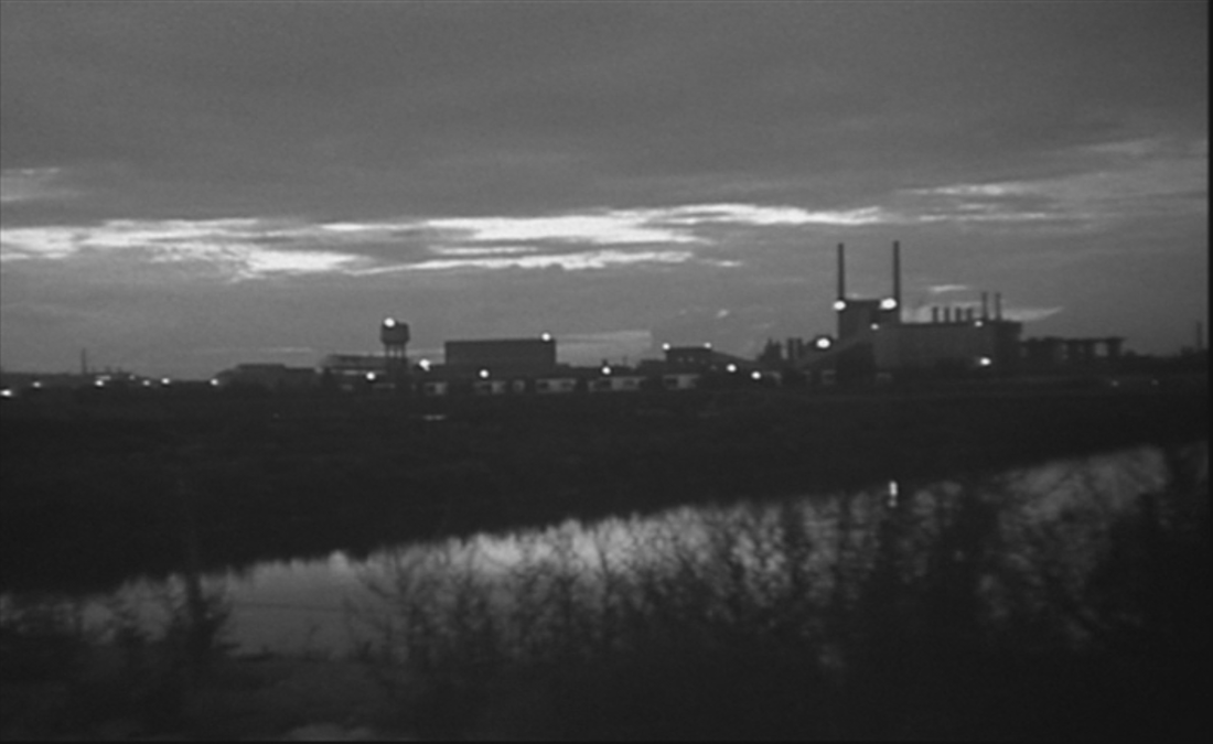
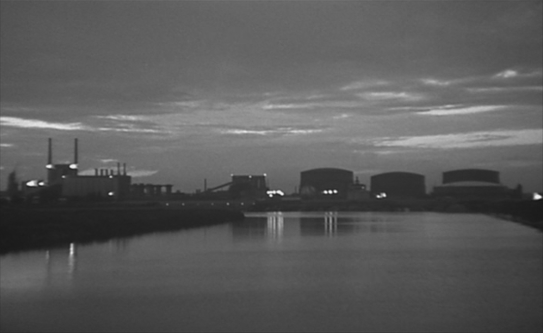
A slow tracking shot past a stretch of river with factory and gasometers in the background is probably a view of Clichy or Gennevilliers, but I haven't found a match to an image of the gas factory in either of those places, both now gone:
It is hard also to locate this signpost. There was at the time a rue d'Oradour sur Glane in Paris, just on the frontier with Issy les Moulineaux, and another in Romainville, but neither has in it the kind of housing we can see behind the sign. The sign itself is strange in bearing no reference to the local authority that would have put the sign up. It looks almost temporary, like a street sign in a bidonville.
The name on the street sign is, like the map of the Biblical near east seen in a Courbevoie schoolroom, the mark of history elsewhere, a different time and place transplanted to the banlieue.
A slow tracking shot past a stretch of river with factory and gasometers in the background is probably a view of Clichy or Gennevilliers, but I haven't found a match to an image of the gas factory in either of those places, both now gone:
|
|
The next shot is of the pont de Charlebourg, to the north of La Garenne Colombes:

|
|
The steam rising in the right hand image was the clue that this was a bridge over railway tracks, but the specific identification came from tracing the itineraries of the four trolleybuses in operation at the time, with the help of experts at BusParisiens, a wonderful discussion forum dedicated to Parisian buses (merci FANA92 et TN4HBAR).
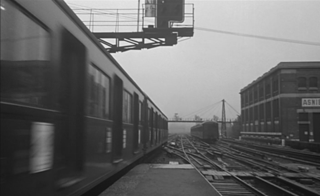
A lateral tracking shot left to right, taken from a train, films a parallel train travelling left to right, on a stretch with at least five tracks together, above street level:
A lateral tracking shot left to right, taken from a train, films a parallel train travelling left to right, on a stretch with at least five tracks together, above street level:
|
|
Given that in the next shot we are at platform level in Asnières station, I would guess that the train-tracking shot is filmed somewhere on the approach to that station, but I realise that the film doesn't pretend to be topographically consistent, and that there needn't be contiguity of place between contiguous shots:
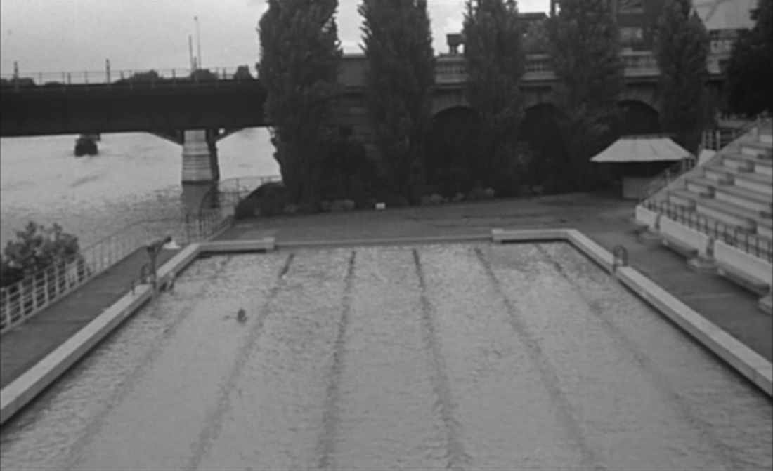
There is such contiguity between the shot above and this shot, below. The train on the bridge in the first part of the shot has just left Asnières station, heading towards Levallois. The second part of the shot tilts down to show the riverside swimming pool by the quai Michelet in Levallois:
|
|
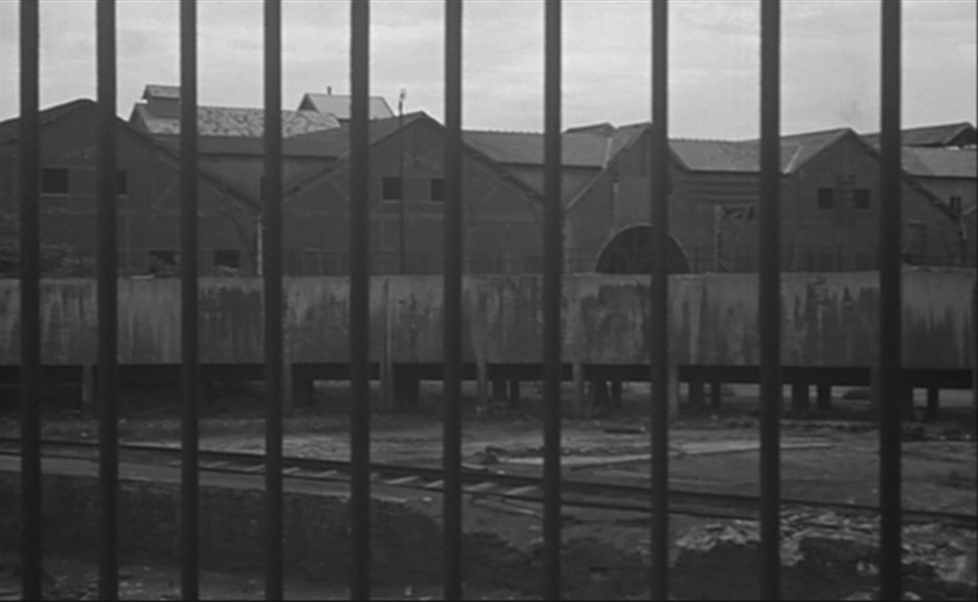
A slow pan left to right over a disused factory, then several views of a depot for disused buses:
|
|
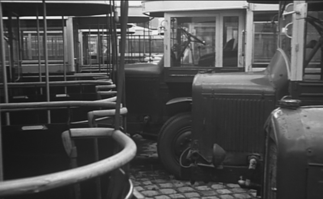
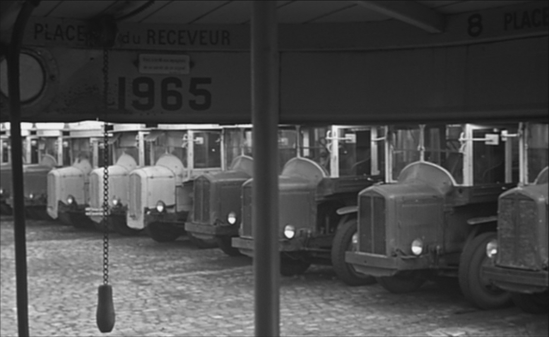
|
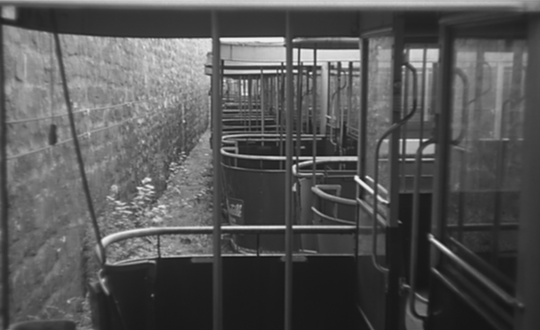
|
Aside from the theme of redundancy, which continues into the next sequence, these two spaces are linked by the tracks that mark the ground, evoking the railway lines that run through the whole film.
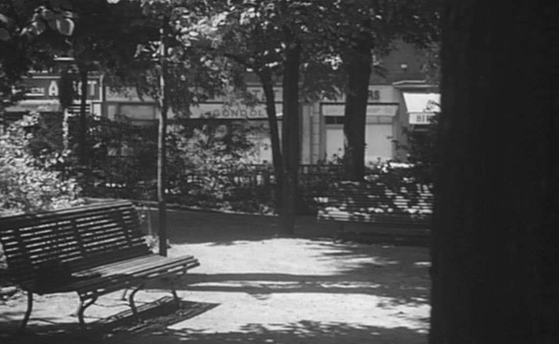
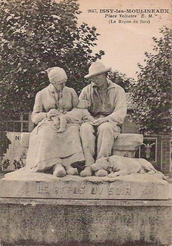
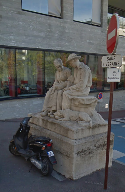
The comfortable spaces occupied by retired workers - the café and the leafy square beyond - remain anonymous, but the monument to well-earned repose in front of which the film positions its subjects is a well-known landmark:
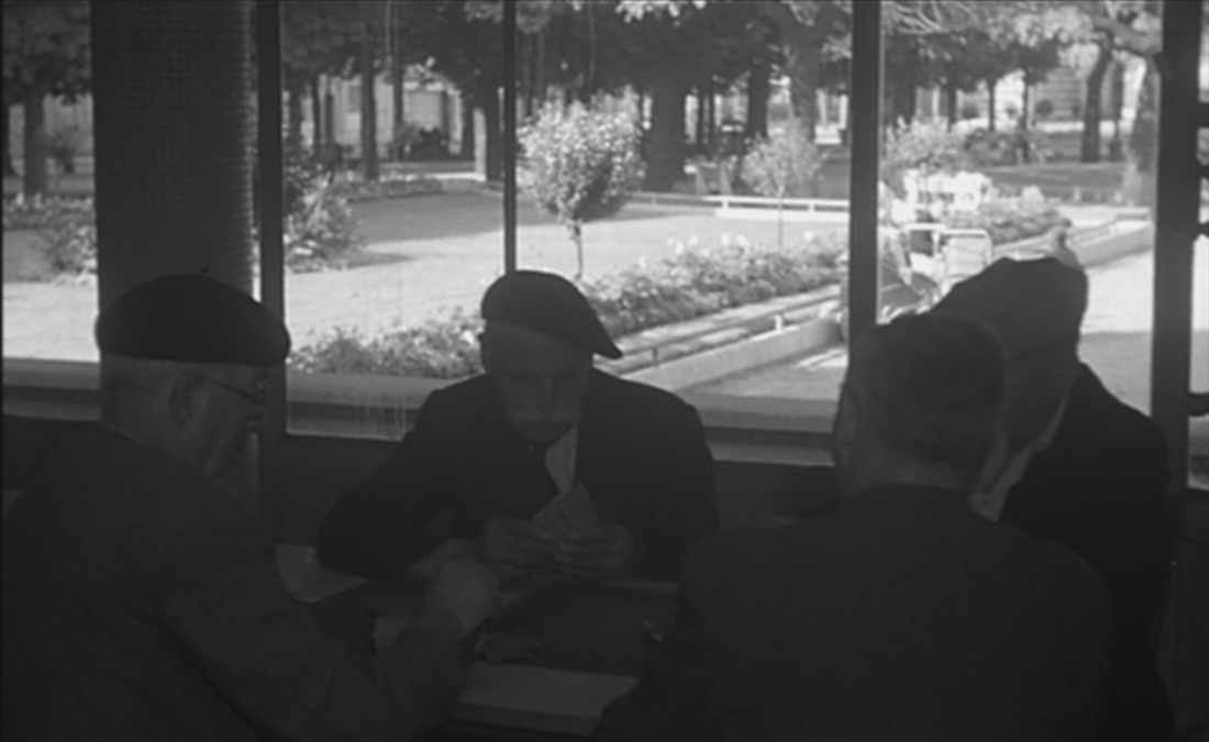
|
|
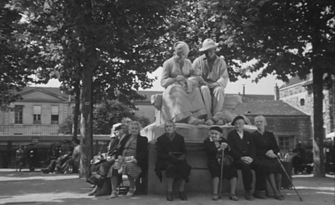
At the time of the shoot, Henri Coutheillas's 1928 sculpture 'Le Repos du soir' was still on the place Voltaire (now place Paul Vaillant-Couturier) in Issy-les-Moulineaux, in front of the town hall. It is now on the rue Sévérine, in front of a retirement home:
|
Google Street View
|
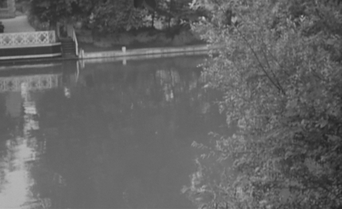
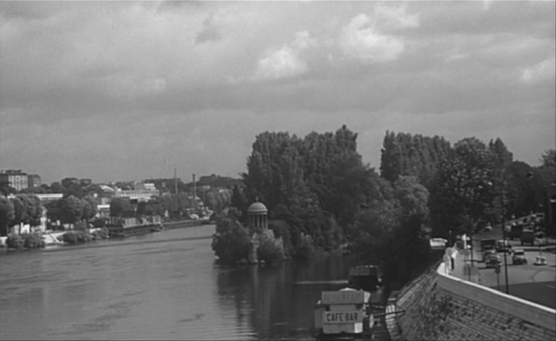
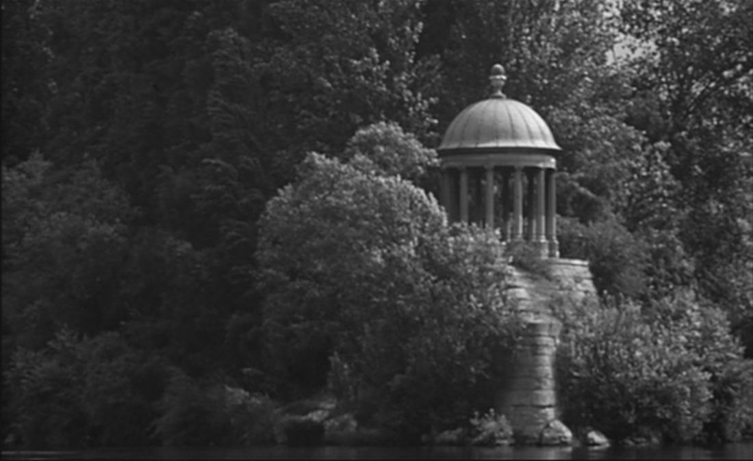
This eighteenth-century temple of love, on the île de la Grande Jatte between Neuilly and Courbevoie, was transposed there in 1830 (it was originally in the park that would become the parc Monceau):
|
|
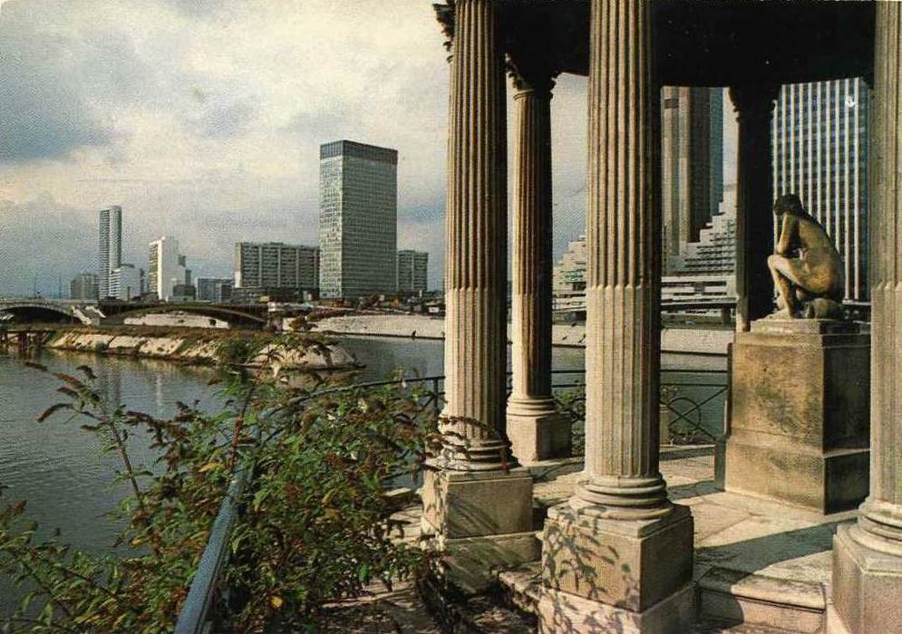
The temple de l'amour is the only location in the film with a connection to l'amour in the film's title. (The producer Pierre Braunberger had suggested changing the film's enigmatic title to Banlieues de Paris.)
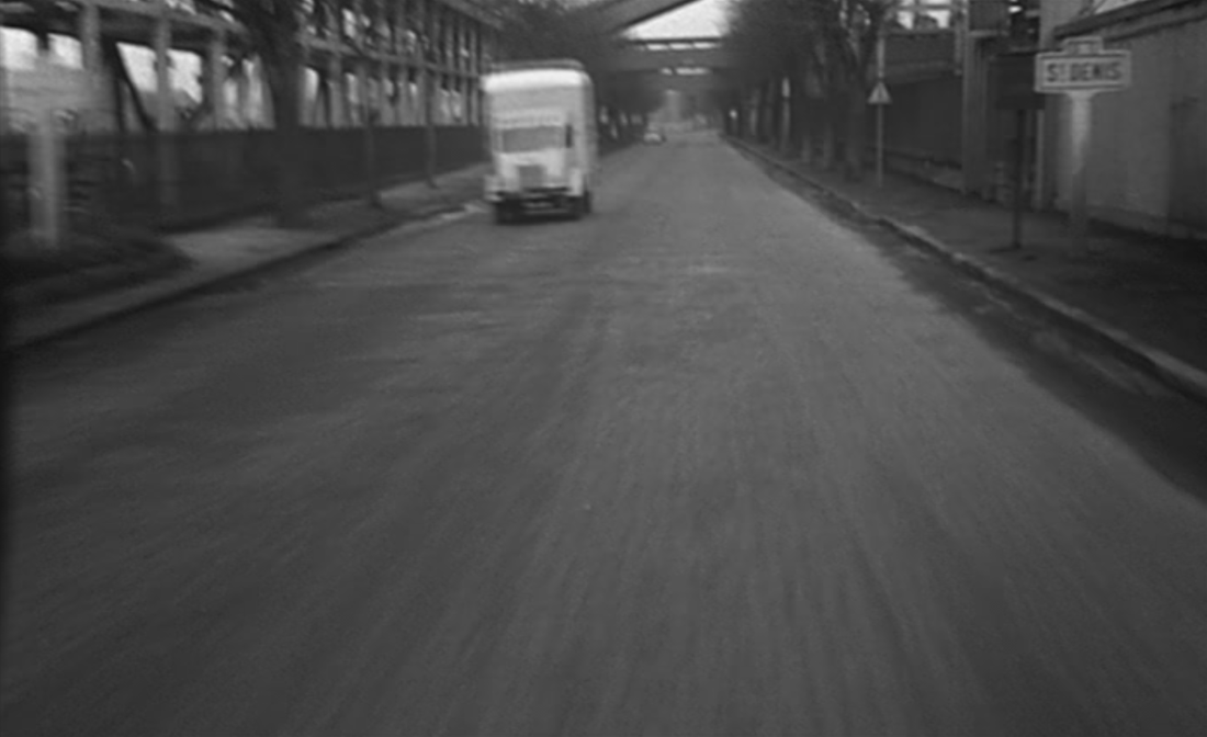
The last of the several vehicular tracking shots punctuating the film is from a car speeding up the quai de Saint Ouen towards Saint Denis, with the Seine and the île Saint Denis to the left:
The last of the several vehicular tracking shots punctuating the film is from a car speeding up the quai de Saint Ouen towards Saint Denis, with the Seine and the île Saint Denis to the left:
|
|
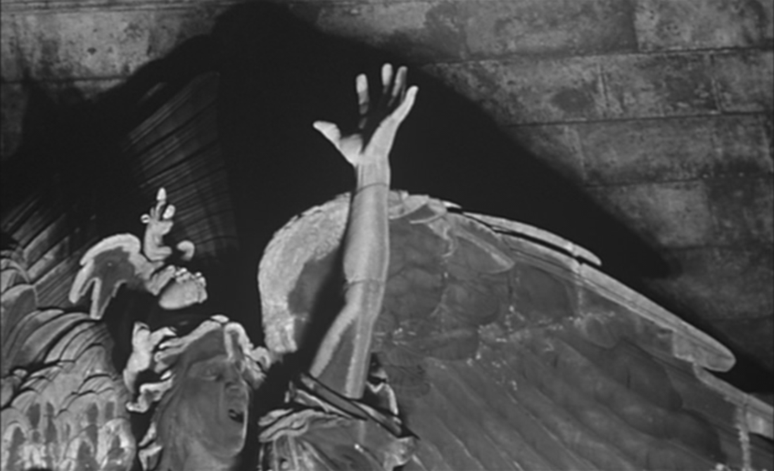
The last banlieue location returns us to Courbevoie, the 1883 monument to the defence of Paris in 1870-1871, by Louis-Ernest Barrias:
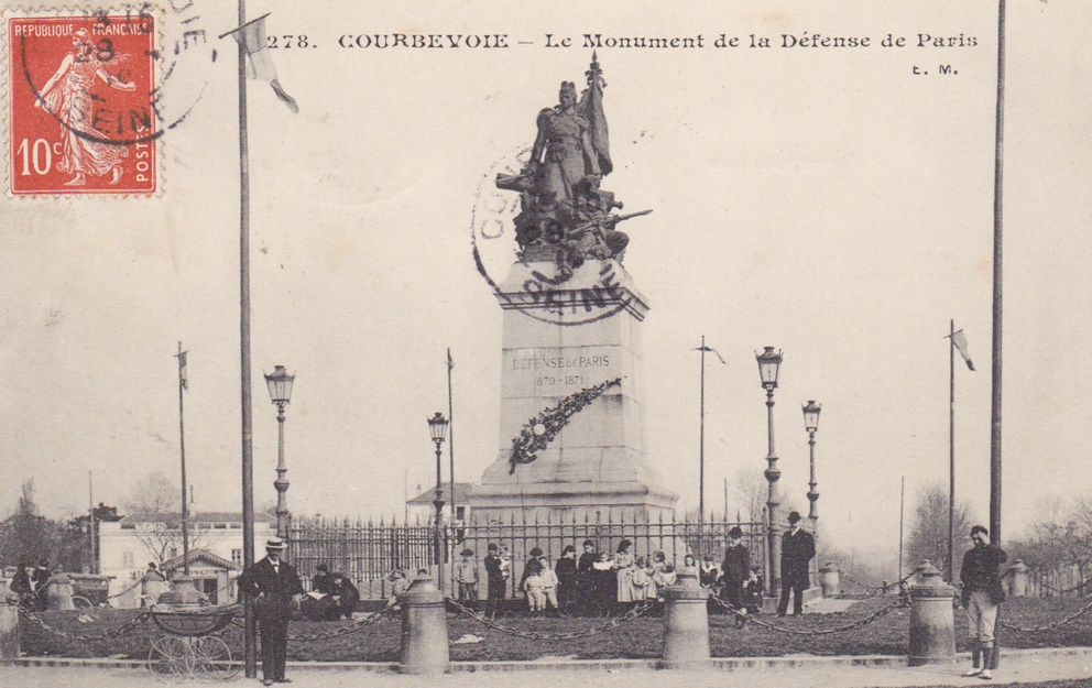


|
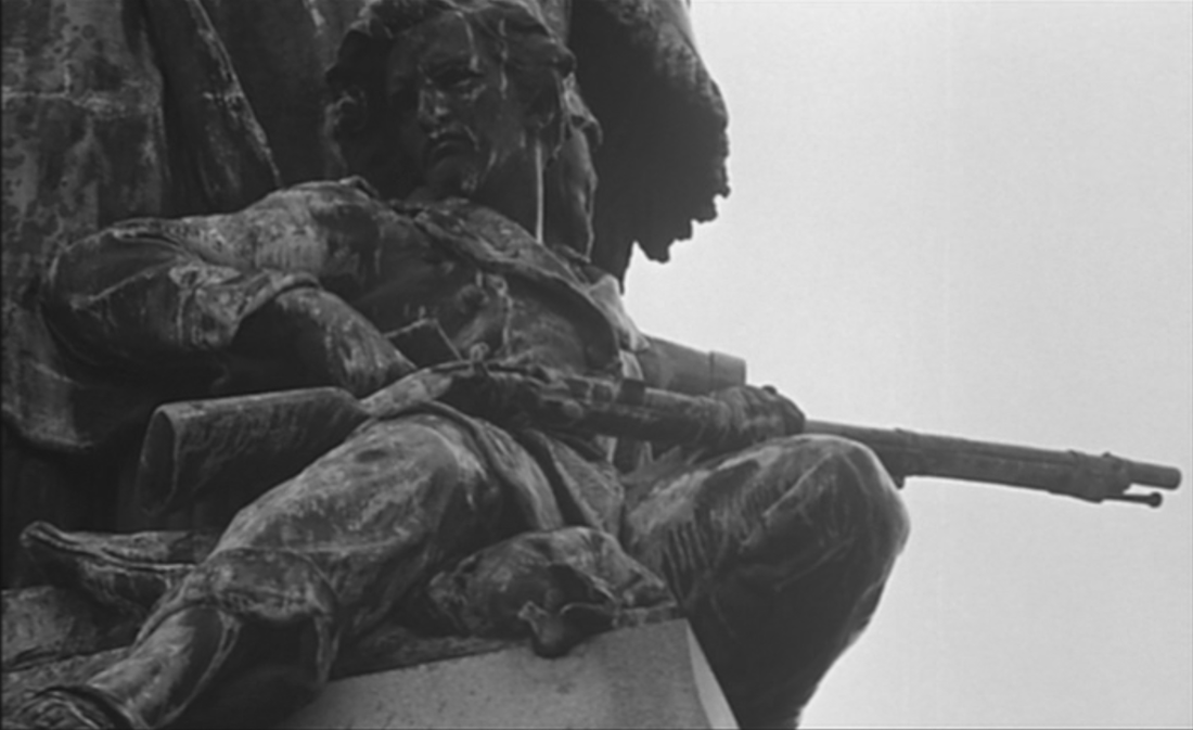
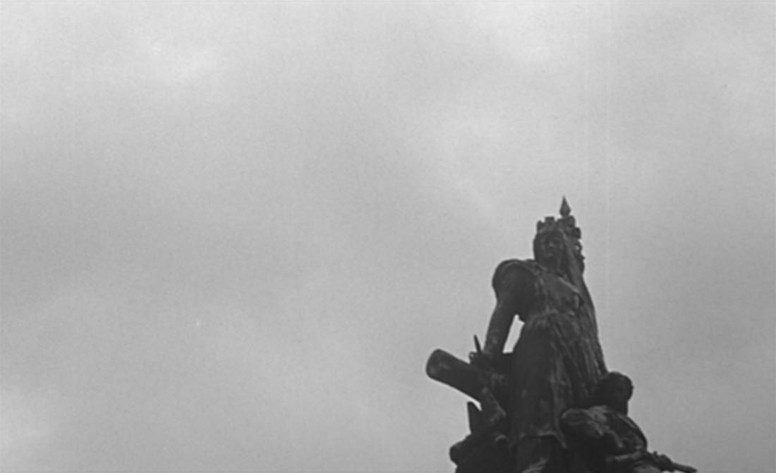
|
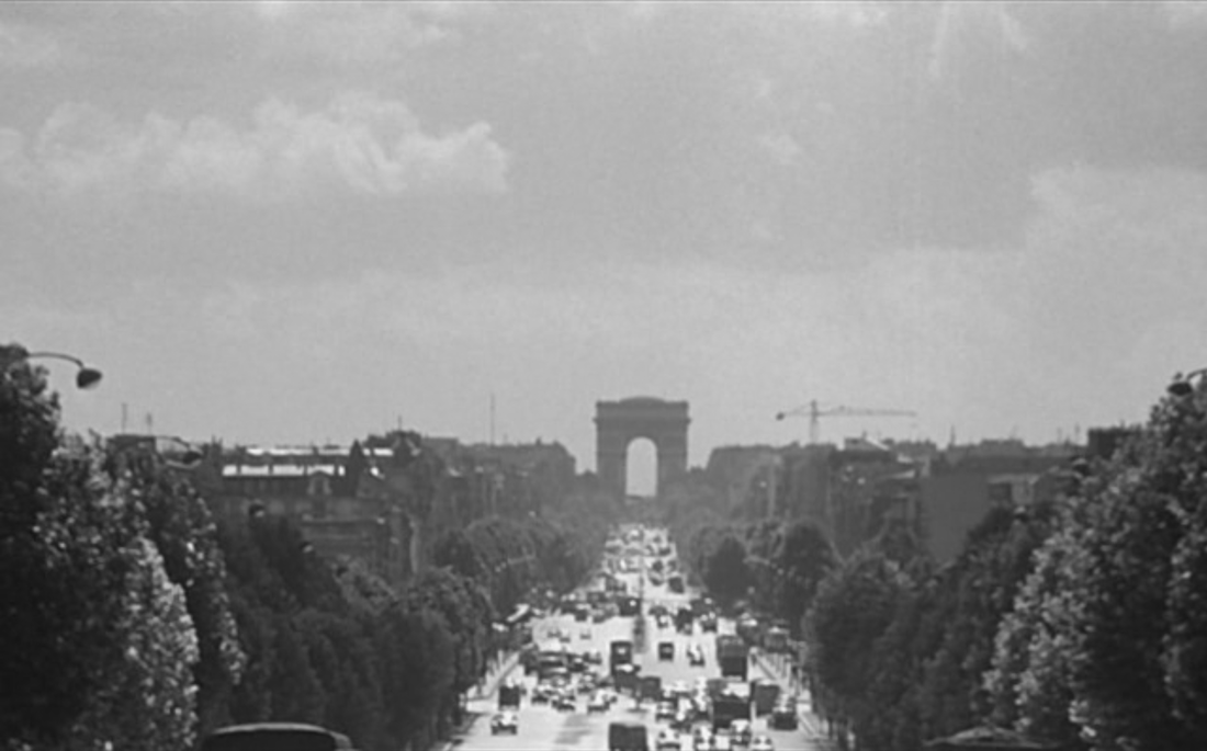
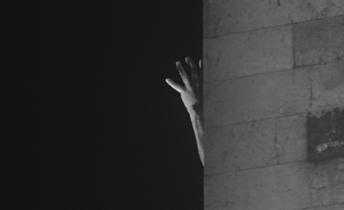
It is followed by a point-of-view shot (the statue's point-of-view) towards Paris, along the avenue du Général de Gaulle, the pont de Neuilly, the avenue de Neuilly and the avenue de la Grande Armée to the place de l'Etoile and the Arc de Triomphe:
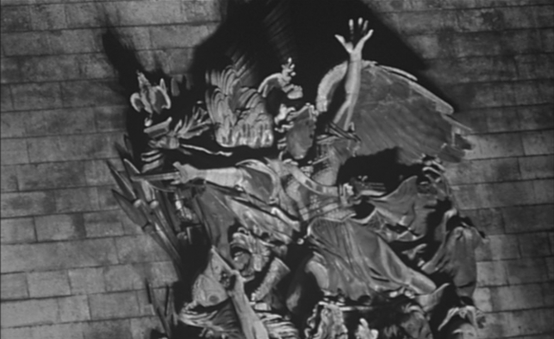
The film closes by closing in on one of the Paris-side sculptures on the Arc de Triomphe, a view internal to the city, and a forgetting of the banlieue:
appendix
In an excellent dossier on L'Amour existe produced for the study of the film in schools (see here), Cyril Béghin includes this list of locations found in the archives of the production company:
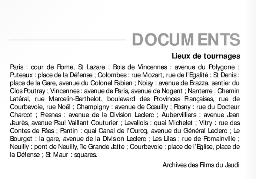
Of the thirty different locations listed here, only nine correspond to places I have been able to identify in the film. In particular, I can find no trace in the film of the specific places in Aubervilliers, Le Bourget, Champigny sur Marne, Colombes, Les Lilas, Noisy le Sec, Rosny sous Bois, Saint Maur des Fossés and Vitry sur Seine listed above. On th other hand, this list does not include locations in Asnières sur Seine, Bécon les Bruyères, Bobigny, Issy les Moulineaux, Juvisy sur Orge, Le Perreux, Levallois-Perret, Maisons-Alfort, Montreuil and Orly that are clearly in the film. The list did help me find the cité in Fresnes.
My conclusion is that this list is part of an early plan that was radically modified in the course of filming.
My conclusion is that this list is part of an early plan that was radically modified in the course of filming.